
Vehicle registration 13 Area code 434 | ||
 | ||
Points of interest | ||
Bitlis Province (Turkish: Bitlis ili and Kurdish: Parêzgeha Peniyan) is a province of eastern Turkey, located to the west of Lake Van. The majority of the province's population is Kurdish.
Contents
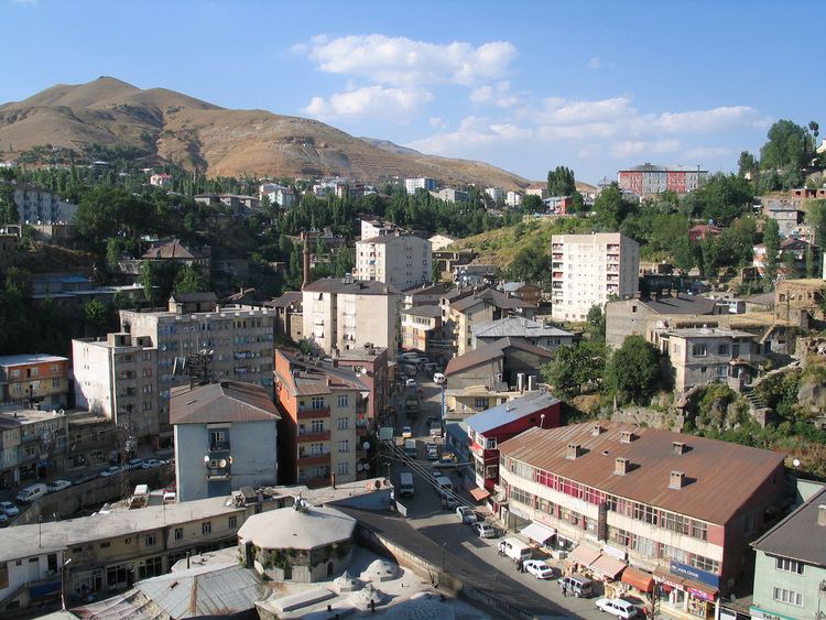
Map of Bitlis, Turkey
History
Bitlis was formed as an administrative district in the 17th Century. The administrative center was the town of Bitlis (Kurdish: Bidlîs, Armenian: Բիթլիս), which was called Bagesh, in old Armenian sources.
Districts
Bitlis Province is divided into 7 districts (the capital district is in bold):
Economy
As of 1920, the province was producing small amounts of iron, copper, lead, and sulphur. Even smaller amounts of gold and silver were found in the areas of Sairt and Khairwan. Salt made up the largest mineral industry in the province, so much that it was exported to surrounding provinces. The salt was produced in pans, using evaporation, and taking 8 to 10 days to mature. The technique and trade was mainly run by local Kurds. The British described the technique as being "primitive".