
Magnitude 6.1 Mw Areas affected Canada Date 1 November 1935 | Depth 10 km (6.2 mi) Max. intensity VII (Very strong) Location Canada | |
 | ||
Similar 1925 Charlevoix–Kamouraska earthquake, 1663 Charlevoix earthquake, 1988 Saguenay earthquake, 1732 Montreal earthquake, 1946 Vancouver Island ear | ||
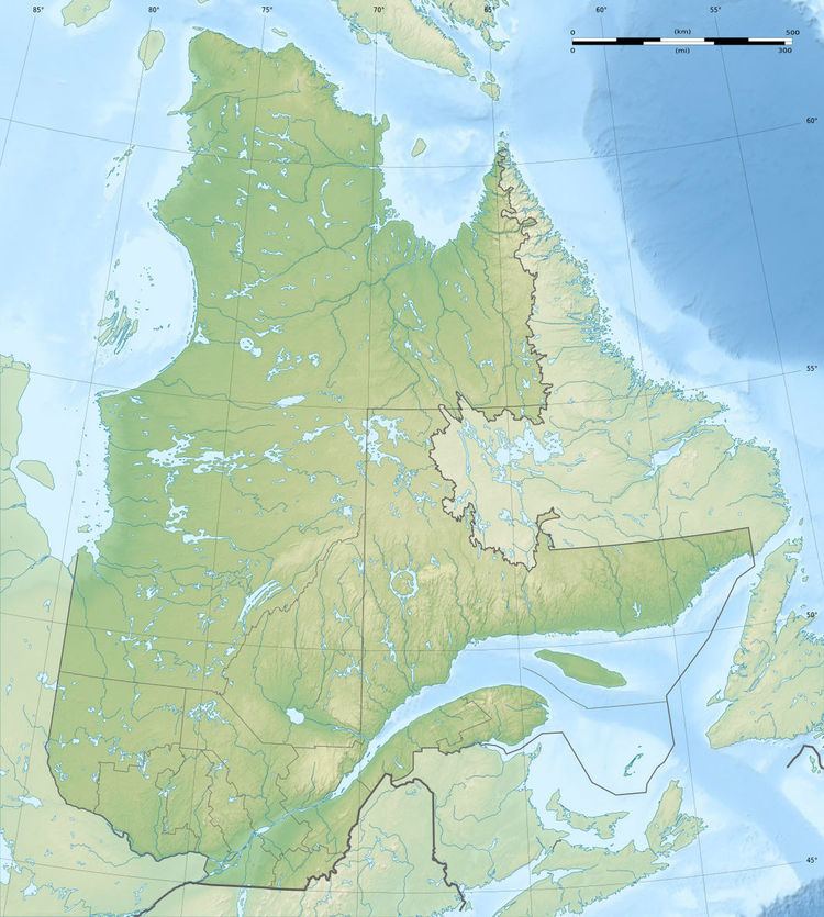
The 1935 Temiskamingue earthquake occurred on November 1 with a moment magnitude of 6.1 and a maximum Mercalli intensity of VII (Very strong). The event took place in the Western Quebec Seismic Zone in the Abitibi-Témiscamingue region of Quebec.
Contents
Earthquake
The earthquake had its epicentre on a thrust fault in the Ottawa-Bonnechere Graben, approximately 10 kilometres north east of Témiscamingue, and occurred at 1:03 a.m. ET. The earthquake was felt over a wide swath of North America, extending west to Fort William (now Thunder Bay), east to Fredericton, New Brunswick, north to James Bay and south as far as Kentucky and West Virginia. Occasional aftershocks were reported for several months.
Damage
Although the most significant damage connected to the earthquake was to chimneys, both in the immediate area and as far south as North Bay and Mattawa, a railroad embankment near Parent, 300 km away, also collapsed. Researcher E. A. Hodgson later concluded that the embankment slide was already imminent, and was merely hastened by the vibrations. Some rockfalls and structural cracks were also reported, although there were few major structural collapses aside from the Parent embankment. The relative lack of major damage, despite the fact that it was a strong earthquake, has been attributed primarily to the sparseness of the area's population.
Other events
The 2000 Kipawa earthquake on January 1, with a magnitude of 5.2, had its epicentre at Lake Kipawa, very near the epicentre of the 1935 quake.