
Primary inflows Surface area 8.05 km (3.11 sq mi) Area 8.05 km² | Max. width 7 kilometres (4.3 mi) Surface elevation 837 m Shore length 36.51 km | |
 | ||
Max. length 6.6 kilometres (4.1 mi) Reference Norwegian Water Resources and Energy Directorate | ||
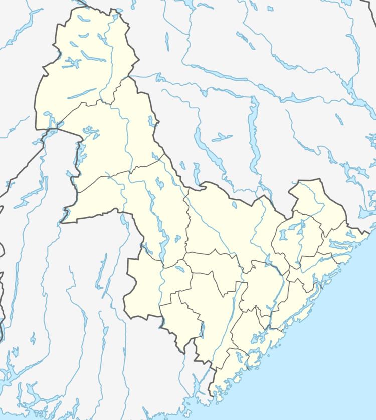
Øyarvatnet or Øyarvatn is a lake in Norway. It sits on the border between the municipalities of Valle in Aust-Agder county and Sirdal in Vest-Agder county, about 30 kilometres (19 mi) northeast of the village of Lunde, Sirdal and about 32 kilometres (20 mi) west of Austad in Bygland. The lake is part of the Kvina river system. It is located just to the south of the lake Rosskreppfjorden, which flows into it. The dam at the south end of the 8.05-square-kilometre (3.11 sq mi) lake keeps it at an elevation of 837 metres (2,746 ft).
Map of %C3%98yarvatnet, Norway
References
Øyarvatnet Wikipedia(Text) CC BY-SA