
- elevation 1,418 m (4,652 ft) - average 32 m/s (1,130 cu ft/s) | - elevation 0 m (0 ft) | |
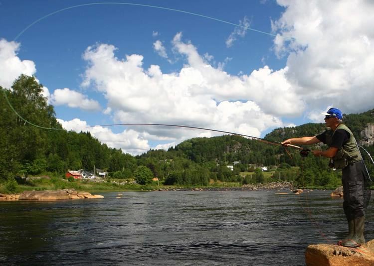 | ||
Kvina is a river in Southern Norway. The 152-kilometre (94 mi) long river begins in the Setesdalsheiene mountains in the municipality of Valle in Aust-Agder county and it flows south, along the Aust-Agder and Vest-Agder county border, through the Kvinesdalen valley, and emptying into the Fedafjorden, just south of Liknes in Kvinesdal municipality in Vest-Agder county. The river has a 1,452.43-square-kilometre (560.79 sq mi) watershed. The river is rich in fish. In 2014, about 1.02 tonnes (1.00 long ton; 1.12 short tons) of salmon was caught in the river Kvina. The river runs through the villages of Netland, Storekvina, and Liknes.
Contents
Map of Kvina, Kvinesdal, Norway
Power generation
The river passes through a number of lakes that are regulated for hydropower including the Roskreppfjorden, Øyarvatn, Kvifjorden, and Homstølvatnet. The hydropower is utilized in several power stations along the river. The largest is the Tonstad Hydroelectric Power Station in Sirdal. Water from the river is piped through a 7-kilometre (4.3 mi) long pipe to the plant. About half of the water is transferred out of the Kvina to the Tonstad plant. The river had an average water flow of 81 cubic metres per second (2,900 cu ft/s) before the regulation of the water, and since then the river has an average flow of 32 cubic metres per second (1,100 cu ft/s).