
Time zone PKT | Number of Tehsils 5 Area 16,000 km² | |
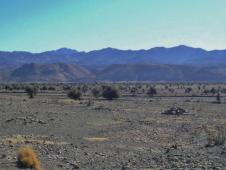 | ||
Zhob (Urdu: ژوب) is a district in the north west of Balochistan province of Pakistan. Zhob District is a Provincially Administered Tribal Area. The population of Zhob District is estimated to be over 400,000 in 2011. Zhob River is used for irrigation in the Zhob District.
Contents
Map of Zhob District, Pakistan
Administration
The 1998 census report lists two sub-divisions: Lower Zhob (comprising Zhob tehsil and Sambaza sub-tehsil) and Kakar Khurasan (encompassing the tehsil of Qamar Din Karez and the subtehsil of Ashewat). A government webpage lists these as Ashwat, Qamar Din Karez, Sambaza and Zhob, without indicating if any of them are sub-tehsils.
Demography
The 1998 census counted a total population of 193,000 in the two subdistricts of Kakar Khurasan and Zhob (the third subdistrict has since been established as the separate Sherani District). The majority of the population (96%) have Pashto as their first language, but there are also speakers of Saraiki (1.8%) and Punjabi (1.77%).
The vast majority of the population of Zhob district is Pashtun. The indigenous tribes of Zhob include the Mandokhail, Khosti, Sherani, Kakar, Harifal, Lawon and Babar. Currently a large number of IDPs have been settled within the confines of the District as part of the evacuation from Operation Zarb-E-Azb taking place to the north of Zhob.