
Time zone CET (UTC+1) Local time Sunday 12:36 PM | Region Baranya Elevation 299 ft (91 m) Population 43 (2011) | |
 | ||
Weather 22°C, Wind SW at 8 km/h, 32% Humidity | ||
Zeleno Polje (Hungarian: Szentistvánpuszta) is a settlement in the region of Baranja, Croatia. Administratively, it is located in the Petlovac municipality within the Osijek-Baranja County. Population is 43 people.
Contents
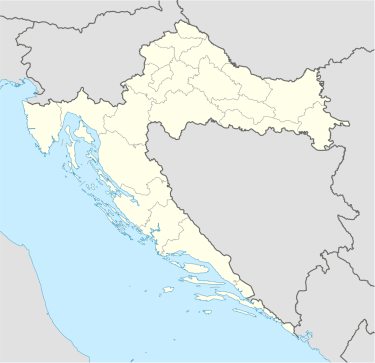
Map of Zeleno Polje, Croatia
History
Zeleno Polje egzist as part of settlement from 1948. It was formally established as an independent settlement in 1991, when it was separated from the territory of Petlovac.
Population
Population data graph 1857.-2011.
Literature
References
Zeleno Polje Wikipedia(Text) CC BY-SA