
Elevation 90 m (300 ft) Postal codes 31321 Petlovac Area 93 km² | Time zone CET (UTC+1) Area code(s) (+385) 31 Local time Tuesday 8:02 AM | |
 | ||
Weather 3°C, Wind W at 5 km/h, 63% Humidity | ||
Petlovac (Hungarian: Baranyaszentistván, German: Sankt Stefan) is a village and municipality in the western part of Baranja, which comprise the northern part of Osijek-Baranja County in Croatia.
Contents
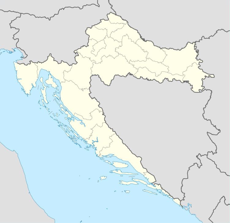
- Map of Petlovac Croatia
- Name
- Population
- Geography
- History
- Austria Hungary 1910 census
- Literature
- References
Map of Petlovac, Croatia
Name
Its name derived from the word "petao" (which means "rooster" in English).
Population
Population data graph 1857.-2011.
Municipality of Petlovac has 2,405 inhabitants (2011 census), including: [1]
Geography
It is located between border with Hungary in the north-west, Baranja municipalities of Beli Manastir and Jagodnjak in the east and Slavonia region in the south-west.
The municipality of Petlovac include following settlements:
History
Till 1991. part of settlement was Zeleno Polje which is now independent settlement.
Population
Population data graph 1857.-2011.
Austria-Hungary 1910. census
Literature
References
Petlovac Wikipedia(Text) CC BY-SA