Established 1983 | ||
 | ||
Nearest city Rivière-Saint-Jean (La Côte-de-Gaspé), an unorganized territory Area length of 63.10 kilometres (39.21 mi) | ||
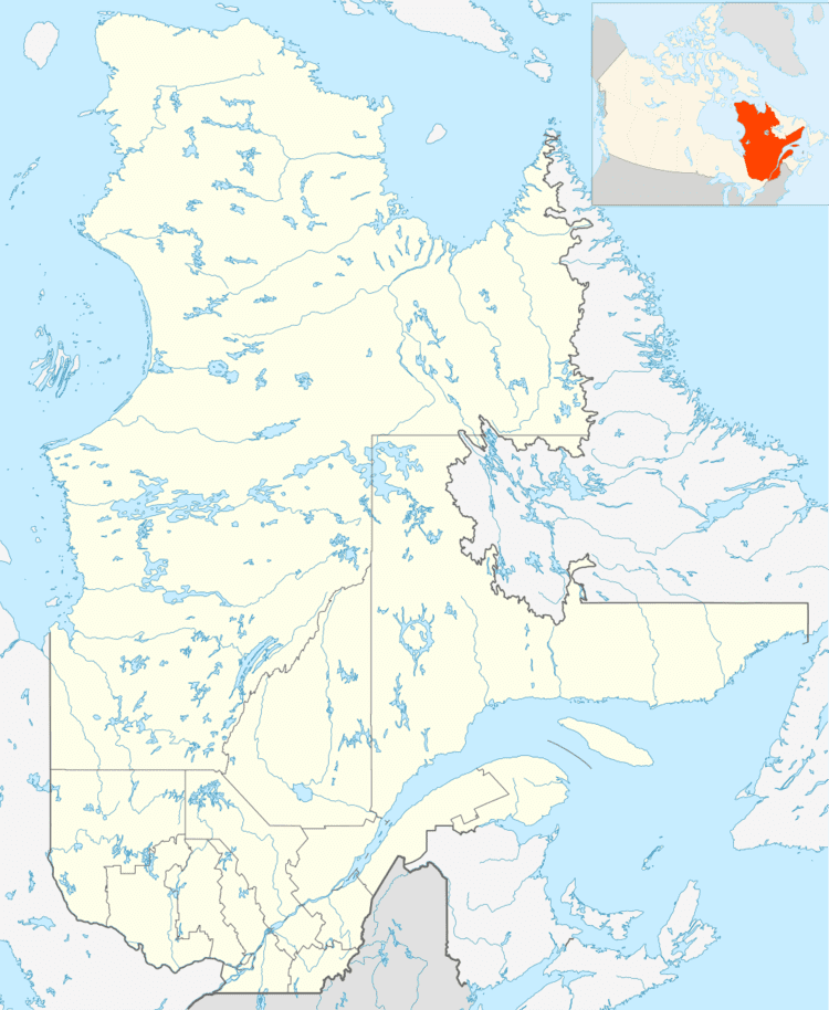
The Zec de la Rivière-Dartmouth is a "zone d'exploitation contrôlée" (controlled harvesting zone] (zec) in the unorganized territory of the Saint-Jean River, in La Côte-de-Gaspé Regional County Municipality, in the administrative region of Gaspésie-Îles-de-la-Madeleine, in Quebec, in Canada.
Contents
Geography
The Dartmouth River rises in the north-east of the peninsula of Gaspésie. The river flows mainly in forested and uninhabited region; however, approaching its mouth, the river passes through a rural residential area in the city of Gaspé. The Dartmouth River has beautiful mountain scenery. This wild river offers the tranquility and charm of memorable fishing activities.
Recreational fishing
Recreational wading fishing on the river is most common. To properly controlled aquatic fauna, the Dartmouth River is divided into seven fishing zones:
Salmon sometimes behave different ways from a pit to another one, depending on the time of the season, the water level, current, or the characteristics of a pit; which involves various fishing strategies (e.g.: choice of fly and position around the pit) for wading.
Toponymy
The name "Zec de la Rivière-Dartmouth" was formalized on Sept. 5, 1985 at the Bank of place names in the Commission de toponymie du Québec (Geographical Names Board of Quebec).
