
Country Canada Constituted January 1, 1986 Population 0 (2011) | RCM La Côte-de-Gaspé Time zone EST (UTC-5) Area 1,740 km² Province Québec | |
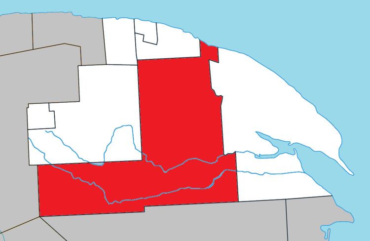 | ||
Rivière-Saint-Jean is an unorganized territory in the Gaspésie–Îles-de-la-Madeleine region of Quebec, Canada. It is bisected by Quebec Route 198 that runs along the banks of the York River.
Map of Rivi%C3%A8re-Saint-Jean, QC, Canada
The territory is named after the Saint-Jean River that is considered one of the best salmon rivers in Quebec. This 90 kilometres (56 mi) long river has its source in the Chic-Choc Mountains, about 5 kilometres (3.1 mi) south of Murdochville, and runs in a south-east direction for the first 35 kilometres (22 mi), then east to the Bay of Gaspé. Portions of the river are protected in the Rivière-Saint-Jean Wildlife Reserve.
References
Rivière-Saint-Jean, Gaspésie–Îles-de-la-Madeleine, Quebec Wikipedia(Text) CC BY-SA