
Airport type Public Elevation AMSL 900 ft / 274 m 5,000 1,524 Code ZZV Phone +1 740-452-3626 | 4/22 5,000 1,524 Asphalt/Concrete Elevation 274 m Serves Zanesville | |
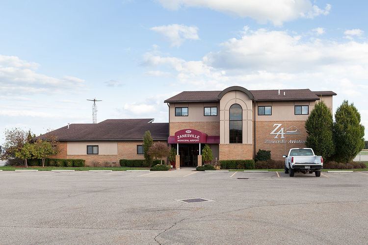 | ||
Address 850 Airport Rd, Zanesville, OH 43701, USA Similar Muskingum County Probation, Zanesville Municipal Court, Muskingum County Clerk‑Court, Muskingum County Sheriff‑R, Zanesville Municipal Airport | ||
B 17 bomber aluminum overcast landing at the zanesville municipal airport zzv
Zanesville Municipal Airport (IATA: ZZV, ICAO: KZZV, FAA LID: ZZV) is a city owned airport six miles east of downtown Zanesville, in Muskingum County, Ohio. The National Plan of Integrated Airport Systems for 2011–2015 called it a general aviation facility.
Contents
- B 17 bomber aluminum overcast landing at the zanesville municipal airport zzv
- B 17 bomber aluminum overcast flies over the zanesville municipal airport zzv
- Facilities
- References
The first airline flights were TWA DC-3s in 1947.
B 17 bomber aluminum overcast flies over the zanesville municipal airport zzv
Facilities
Zanesville Municipal Airport covers 534 acres (216 ha) at an elevation of 900 feet (274 m). It has two asphalt/concrete runways: 4/22 is 5,000 by 150 feet (1,524 x 46 m) and 16/34 is 4,999 by 150 feet (1,524 x 46 m).
In the year ending May 24, 2011 the airport had 33,312 aircraft operations, average 91 per day: 96% general aviation, 3% air taxi, and 1% military. 18 aircraft were then based at this airport: 56% single-engine, 33% multi-engine, and 11.1% jet.