Suvarna Garge (Editor)

Zalishchyky Raion

Updated on
Edit
Like
Comment
Share on FacebookTweet on TwitterShare on LinkedInShare on Reddit
Country
  
Admin. center
  
Area code
  
380-3554

Administrative center
  
Subdivisions
  
53

Established
  
1940

Time zone
  
EET (UTC+2)

Area
  
684 km²

Region
  
Team
  
FC Dnister Zalishchyky

Zalishchyky Raion

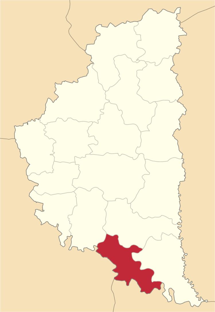
The Zalishchyky Raion (Ukrainian: Заліщицький район) is a sub-division of the Ternopil Oblast. The administrative centre and largest town is Zalishchyky. The rest of the district's population lives in one of 35 village councils or 53 rural settlements.

Contents

Map of Zalishchyts'kyi district, Ternopil Oblast, Ukraine

Demographics

  • Population: 53,400 (2001) [1]
  • (In 1989 the population was 56,300 - a decline of 5%)
  • Density: 85
  • Life expectancy: 71
  • % Urban population: 25% [2]
  • Geography

  • Area: 684 km² [3]
  • Communities

  • Towns
  • Zalishchyky
  • Urban type settlements
  • Tovste
  • Villages
  • Bedrykivtsi
  • Blishchanka
  • Buryakivka
  • Dobrivlyany
  • Dorohychivka
  • Duniv
  • Horodok
  • Ivane-Zolote
  • Kasperivtsi
  • Khmeleva
  • Kolodribka
  • Koshylivtsi
  • Lysychnyky
  • Lisivtsi
  • Lytyachi
  • Myshkiv
  • Nahoryany
  • Nyrkiv
  • Novosilka
  • Podillya
  • Popivtsi
  • Sadky
  • Shchytivtsi
  • Shypivtsi
  • Shutromyntsi
  • Syn'kiv
  • Slobidka
  • Solene
  • Tors'ke
  • Uhryn'kivtsi
  • Ustechko
  • Vynohradne
  • Vynyatyntsi
  • Vorvulyntsi
  • Zelenyy Hay
  • Zozulyntsi
  • Zvynyach
  • References

    Zalishchyky Raion Wikipedia


    Similar Topics