
District Zalischyky Raion Elevation 243 m (797 ft) Local time Wednesday 8:37 PM | Established 1641 Time zone EET (UTC+2) | |
 | ||
Weather 7°C, Wind NW at 21 km/h, 84% Humidity | ||
Lysychnyky (Ukrainian: Лиси́чники) is a village (selo) in the Zalischyky Raion of the Ternopil Oblast, of Western Ukraine. The population of the village is just about 647 people.
Local government is administered by Kasperivska village council.
Contents
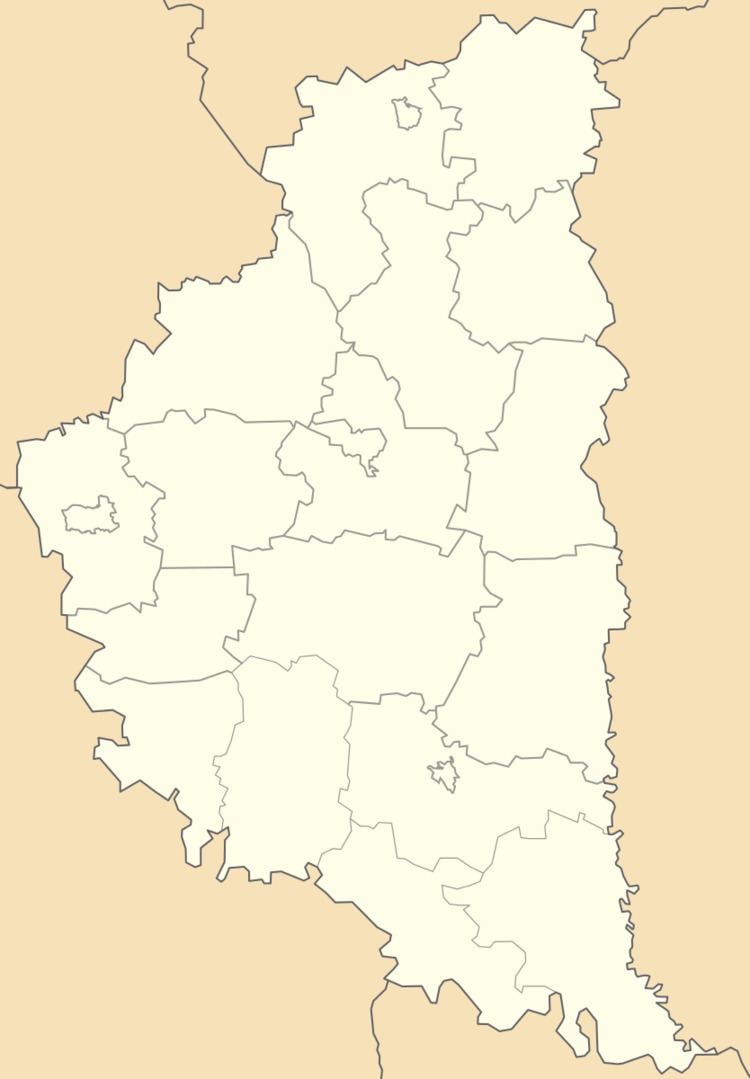
Map of Lysychnyky, Ternopil Oblast, Ukraine
Geography
The village is situated along of the Seret River Area of the village totals is 2.510 km2 and is located at an altitude of 243 meters above sea level.
Village Lysychnyky is a distant 132 kilometres (82 mi) from the administrative center of Ternopil, 18 kilometres (11 mi) from the district center Zalischyky and 32 kilometres (20 mi) from the urban-type settlement Tovste.
History and Attractions
The first written record dates from the 1641, though on the outskirts of village discovered archaeological sights of Upper Paleolithic and ancient culture.
In the village was preserved Church of the Protection Blessed Virgin Mary (1898).