
Postcode(s) 5493 Mean max temp Mean min temp Elevation 512 m Local time Sunday 5:04 PM | County Dalhousie Mean min temp Annual rainfall Postal code 5493 Population 243 (2011 census) | |
 | ||
Location 238 km (148 mi) North of Adelaide via 91 km (57 mi) East of Port Pirie11 km (7 mi) southwest of Peterborough Weather 14°C, Wind SW at 32 km/h, 44% Humidity | ||
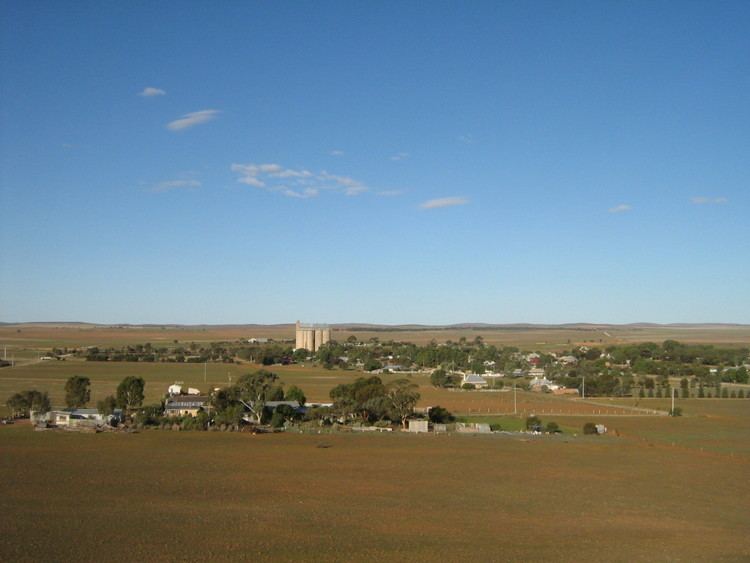
Yongala is a small town located in the state of South Australia, Australia. It has a population of approximately 240 people and is situated on the Clare-Peterborough Road (B79). The town was proclaimed on 23 May 1876 and within 5 years had a population of 353 as developers anticipated the connection of a railway. The railway instead went through the nearby town of Peterborough.
Contents
Map of Yongala SA 5493, Australia
Yongala is situated on a high plateau and winter snowfalls are common. The town holds several records for the lowest minimum temperature in South Australia.
History
Yongala was established as a hundred and part of the Dalhousie county in 1871 as one of the first of the 12 hundreds to be declared in that county. Land could be purchased in a hundred as soon as it had been declared.
The SS Yongala launched in 1903 and owned by the Adelaide Steamship Company was named after the town. It sank in a storm in 1911 off the coast of Townsville, Queensland and its wreck site is protected by the Commonwealth Historic Shipwrecks Act 1976.
Climate
Yongala recorded a temperature of −8.2 °C (17.2 °F) on 20 July 1976. This is the coldest recorded temperature in South Australia. The town also holds the record low temperatures in South Australia for the months of May, June, August and September.