
- left Jiseokcheon Length 116 km Basin area 3,467 km² Basin 3,467 km2 (1,339 sq mi) | - average 48 m/s (1,695 cu ft/s) Basin area 2,798 km² | |
 | ||
- right Hwangnyong River, Gomagwoncheon, Hampyeongcheon - location Byeongpung Mountain, Damyang, South Jeolla - location Esturay Bank, Yeongam, South Jeolla | ||
Biking the yeongsan river trail in korea
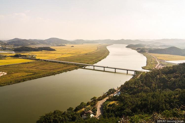
The Yeongsan River is a river in south-western South Korea. It has a length of 129.50 km, and covers an area of 3,467.83 km2. It runs through Damyang, Naju, Gwangju and other regions and eventually flows into the Yellow Sea at Yeongam through the estuary bank.
Contents
- Biking the yeongsan river trail in korea
- Map of Yeongsan River Yudal dong Mokpo si
- bike trip of the yeongsan river bike path
- References
Map of Yeongsan River, Yudal-dong, Mokpo-si
bike trip of the yeongsan river bike path
References
Yeongsan River Wikipedia(Text) CC BY-SA