
Postal index 55500—55560 Founded 29 September 1926 | Established 1926 Time zone EET (UTC+2) Area 1,018 km² Population 15,643 (2015) Area code 5159 | |
 | ||
Subdivisions List 0 — city councils 1 — settlement councils11 — rural councilsNumber of localities: 0 — cities 1 — urban-type settlements36 — villages 0 — rural settlements | ||
Yelanets Raion (Ukrainian: Єланецький район) is located in Mykolaiv Oblast of Ukraine. Its administrative center is the urban-type settlement of Yelanets. Population: 15,643 (2015 est.)
Contents
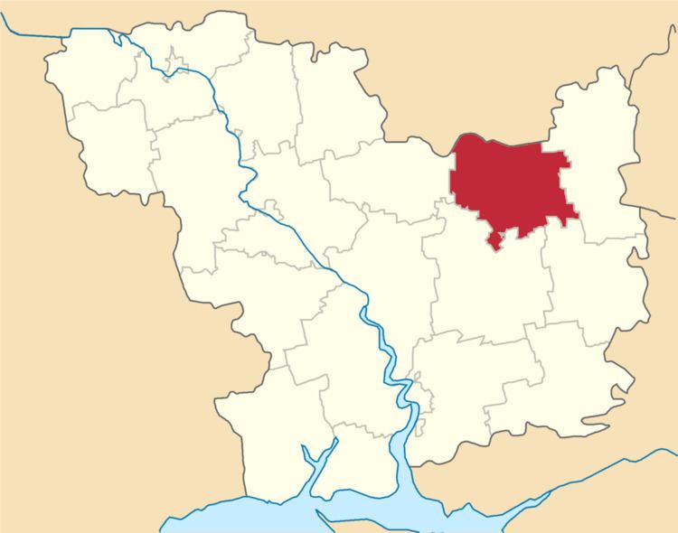
Map of Yelanets'kyi district, Mykolaivs'ka oblast, Ukraine
History
In 1926, Yelanets Raion of Mykolaiv Okruha, with the administrative center in Yelanets, was established. The okruhas were directly subordinated to Ukrainian Soviet Socialist Republic. In 1930, okruhas were abolished. In 1935, Yelanets Raion was transferred to Odessa Oblast. On 22 September 1937, Mykolaiv Oblast was established on lands which previously belonged to Dnipropetrovsk and Odessa Oblasts, and Yelanets Raion became part of newly created Mykolaiv Oblast. In 1968, Yelanets was granted urban-type settlement status.
References
Yelanets Raion Wikipedia(Text) CC BY-SA