
Country Ukraine Postal index 86000-86092 Population 27,845 (2013) Area code 6236 | Time zone EET (UTC+2) Area 809.2 km² Administrative center Ocheretyne | |
 | ||
Subdivisions List 0 — city councils 3 — settlement councils9 — rural councilsNumber of localities: 0 — cities 3 — urban-type settlements30 — villages 13 — rural settlements | ||
Yasynuvata Raion (Ukrainian: Ясинуватський район, Yasynuvats’kyi raion) is one of the 18 administrative raions (a district) of Donetsk Oblast, located in southeastern Ukraine. The administrative center of the district is the city of Yasynuvata, which is incorporated separately as a city of oblast significance and does not belong to the districts jurisdiction. Population: 27,845 (2013 est.)
Contents
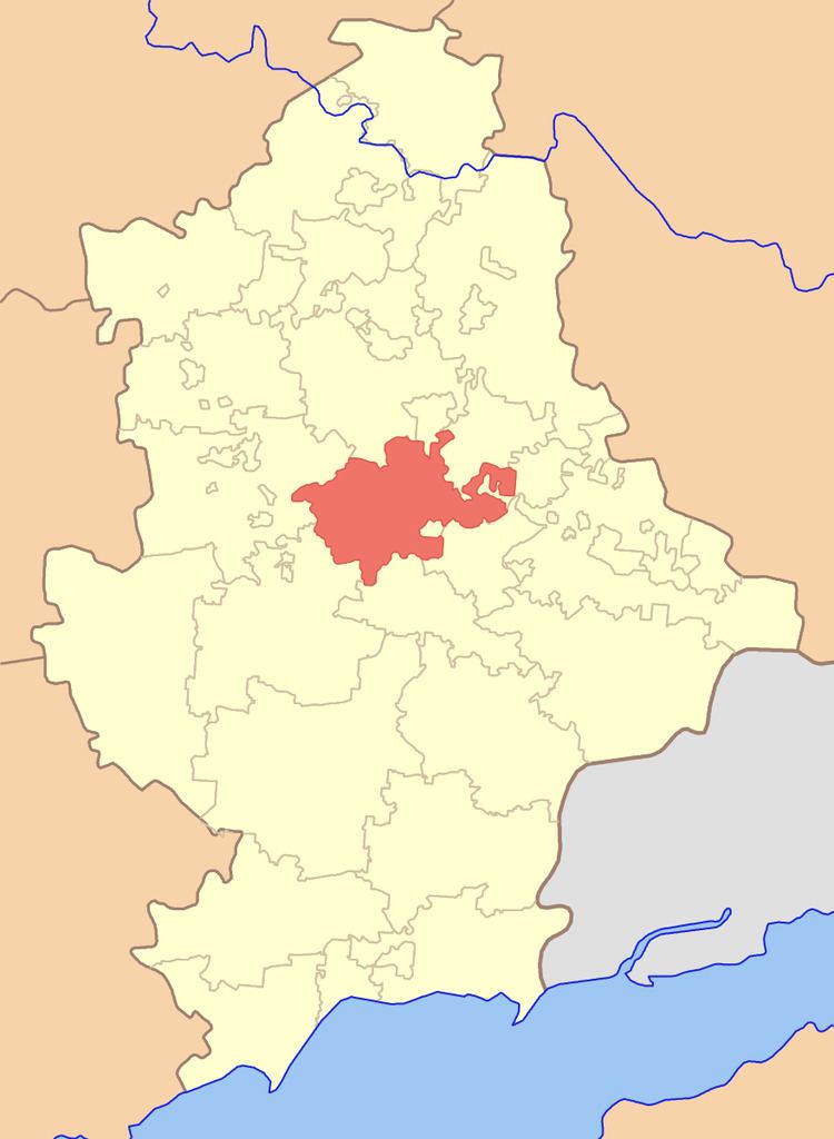
Map of Yasynuvats'kyi district, Donetska, Ukraine
History
On 9 December 2014, following the events surrounding the War in Donbass, the Verkhovna Rada, Ukraine's national parliament, moved Yasynuvats’kyi district's administration buildings and government to вул. Першотравнева 12, (English: 12 May Day Street) in Ocheretyne urban-type settlement, which is near H20 about 35 km northnorthwest of Donetsk. The raion (as under control by Ukrainian authorities) is located 20 kilometers from the frontline of the War in Donbass.
The city Yasynuvata is under control of the pro-Russian separatists Donetsk People's Republic. Early February 2016 well known separatist Pavel Gubarev was appointed Yasynuvata Raion mayor by the Donetsk People's Republic.
Demographics
National composition of the population in the district according to the 2001 Ukrainian Census.