Postcode(s) 4704 Postal code 4704 | Yaamba Milman Local time Monday 4:39 AM | |
 | ||
Weather 21°C, Wind S at 8 km/h, 89% Humidity | ||
Yaamba is a town and locality in the Shire of Livingstone, Queensland, Australia.
Contents
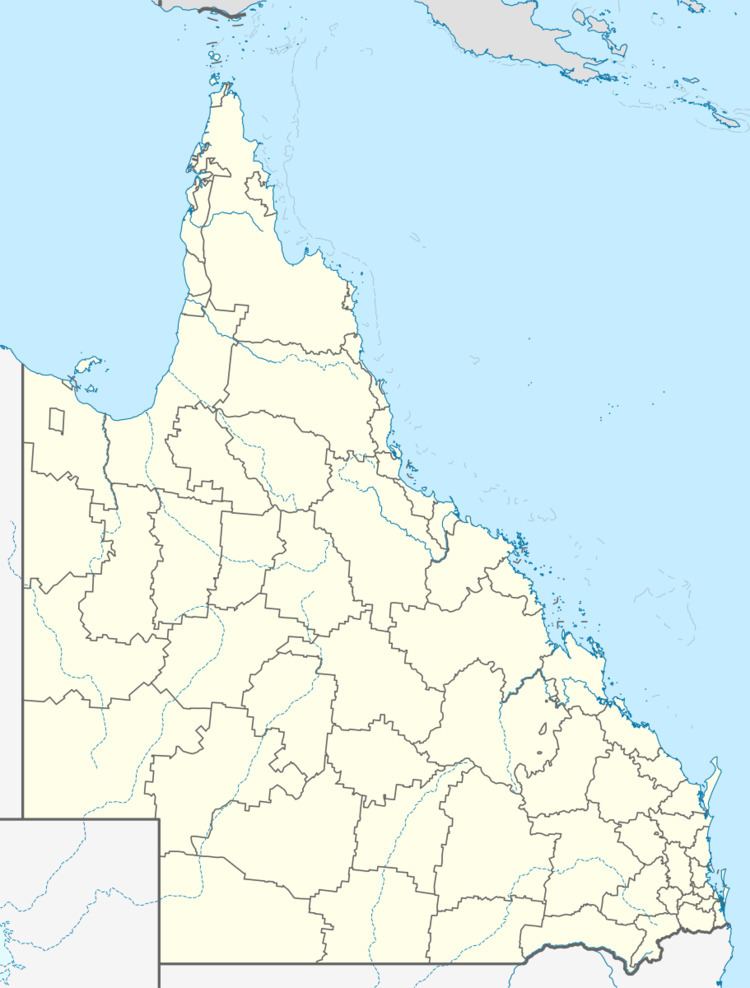
Map of Yaamba QLD 4704, Australia
Geography
Yaamba is bounded by the Fitzroy River to the south and by its tributary Alligator Creek to the east. The Bruce Highway passes through the locality from east to west. The North Coast railway line also passes through the locality from east to west, roughly parallel and north of the highway. The land is predominantly used for grazing. The town comprises a few houses near the Yaamba railway station.
History
The area takes its name from the pastoral run taken up in the 1860s by Peter Fitzallan MacDonald. It is believed to be an Aboriginal word (language and dialect unknown) meaning "main camping ground".
In July 1872, a Rockhampton architect John William Wilson found a large salt water crocodile known as Big Ben dying in Alligator Creek (it had been shot). Big Ben had originally inhabited the lower reaches of the Fitzroy River but had been frightened by the shipping in the river and had retreated to Alligator Creek. In October that year, Wilson displayed Big Ben and some other crocodiles in Rockhampton's Theatre Royal. Big Ben was 22 feet 3½ inches long and an analysis of his stomach revealed human bones; local Aboriginal people had long believed Big Ben had eaten people and held a corroborree to celebrate his death.
