
Listing Hewitt, Nuttall OS grid SN789869 Elevation 684 m | Topo map OS Landranger 135 Prominence 56 m | |
 | ||
Similar | ||
Y Garn is a subsidiary summit of Pen Pumlumon Fawr and the fourth highest peak on the Plynlimon massif, a part of the Cambrian Mountains in the county of Ceredigion, Wales.
Map of Y Garn, Aberystwyth, UK
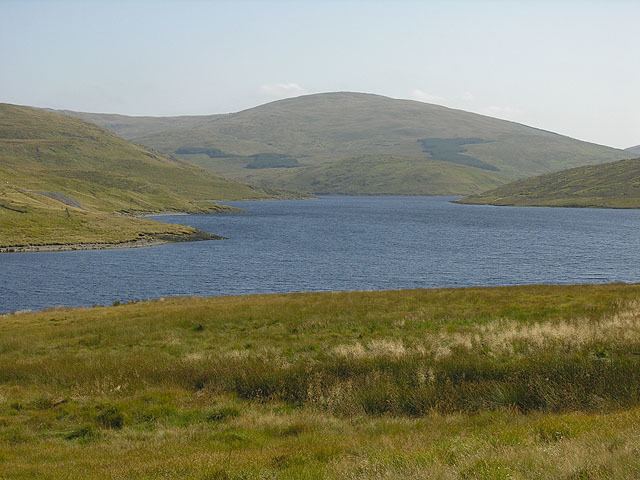
The summit is marked by a large shelter cairn, hollowed out from an ancient burial cairn. The views include Rhos Fawr, Drygarn Fawr, Pen y Garn to the south and Aran Fawddwy, Glasgwm, Tarrenhendre and Tarren y Gesail to the north. The Nant-y-moch Reservoir can also be seen to the north, with the smaller summits of Drosgol at 550 m (1,800 ft) and Banc Llechwedd-mawr at 560 m (1,840 ft). both Marilyns.
References
Y Garn (Plynlimon) Wikipedia(Text) CC BY-SA