
Prominence 526 m (1,726 ft) Location Ceredigion, Wales Range Cambrian Mountains | Parent peak Pen y Fan Elevation 752 m Highest point Pen Pumlumon Fawr | |
 | ||
Listing Marilyn, Hewitt, Council top, Nuttall Translation five-peaked mountain, big peak (Welsh) Pronunciation Welsh: [ˈpɛn pɪmˈlɪmɔn ˈvauɾ] Mountains Pen Pumlumon Arwystli, Y Garn, Pumlumon Fach, Pen Pumlumon Llygad-bychan, Pen Pumlumon Fawr Similar River Severn, Devil's Bridge - Ceredigion, Cadair Idris, Drygarn Fawr, Aran Fawddwy | ||
Plynlimon 2015 a year on the mountain
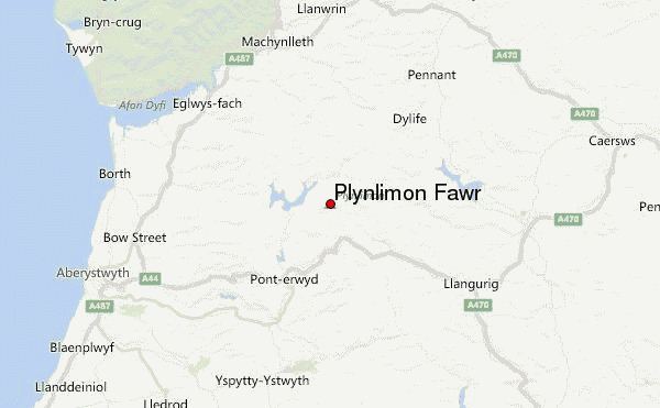
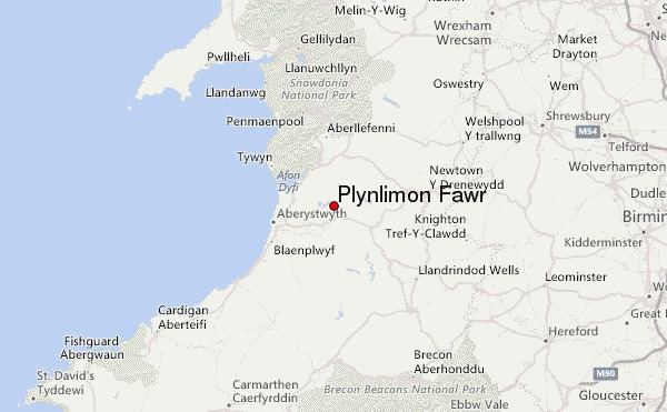
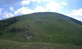
Plynlimon (anglicised from Pumlumon in Welsh, meaning "five peaks") is the highest point of the Cambrian Mountains in Wales, and the highest point in Mid Wales. It is a massif that dominates the countryside of northern Ceredigion.
Contents
- Plynlimon 2015 a year on the mountain
- Plynlimon in search of the wye and severn
- HabitatEdit
- Severn WayEdit
- References
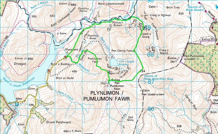
The highest point of the massif itself is Pen Pumlumon Fawr at 752 metres (2,467 ft). Its other important peaks are Pen Pumlumon Arwystli, Y Garn, Pen Pumlumon Llygad-bychan and Pumlumon Fach.
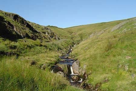
The longest river in Britain, the River Severn, has its source on the mountain, as do the rivers Wye and Rheidol.
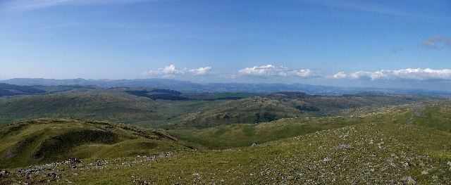
Folklore says there is a sleeping giant in Plynlimon.
Plynlimon in search of the wye and severn
HabitatEdit
The Pumlumon area is the largest watershed in Wales and is the source of the rivers Wye, Severn and Rheidol. Since 2007 the Wildlife Trusts of Wales have been working to improve the habitat as a "living landscape" project. This watershed area has been affected by loss of biodiversity, erosion of the peaty soils' structure, and accelerated drainage. Some believe the drainage issues have contributed significantly to flooding in areas some distance downstream, though this cannot be clearly proved.

Like most of the uplands across Wales, intensive land use activities have resulted in many habitats being either lost or degraded. Over-grazing of sheep has induced soil compaction, which has resulted in increased flooding of the lowland areas. The principal land cover within the project area is dominated by a complex mosaic of locally, nationally and internationally important habitats and species, such as dry and wet dwarf-shrub heathland, blanket bog, unimproved acid grassland and a number of oligotrophic lakes. Agriculturally improved grassland, broadleaved woodlands and forestry plantation are also characteristic features of the area.
The Pumlumon area is also important for breeding, wintering and feeding bird fauna particularly hen harrier, merlin, short-eared owl and red and black grouse, and a number of Red Data Book and UK BAP invertebrates.
Severn WayEdit
The Severn Way runs for 210 miles (337 km) along the River Severn between the mouth of the Severn at Bristol, England, and its source at Plynlimon, Wales.