
Country | Area 38.5386 km2 | |
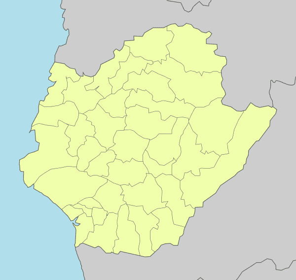 | ||
Map of Xinying District
Xinying District (Chinese: 新營區; Hanyu Pinyin: Xīnyíng Qū; Tongyong Pinyin: Sinyíng Cyu; Wade–Giles: Hsin1-ying2 ch'ü1; Pe̍h-ōe-jī: Sin-iâⁿ-khu) or Sinying District is a district and the location of second administration center of the city government of Tainan City in Taiwan. Sugar production was the most important industry in Xinying.
Contents
- Map of Xinying District
- History
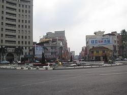
- xinying night market Taiwan part 2
- Geography
- Government institutions
- Senior High Schools
- Junior High Schools
- Primary Schools
- Tourist attractions
- Transportation
- References

History
On 7 January 1946, Tainan County was established and Xinying Township was made its county capital. On 25 December 1981, Xinying was upgraded to a county-controlled city. After 25 December 2010, Tainan City merged with Tainan County to form a single special municipality, subsequently Xinying City became Xinying District and became the capital of Tainan City along with Anping District.
xinying night market Taiwan part 2
Geography
Located in the northern portion of Tainan, Xinying has a tropical monsoon climate and is known for its many snacks and traditions.
Government institutions
Senior High Schools
Junior High Schools
Primary Schools
Tourist attractions
Transportation
Xinying is served by National Highway No. 1 (國道一號) and the TRA Western Line (臺鐵西部幹線) Xinying Station. It is also served by Provincial Highway No. 1.