
Country Republic of China | Area 11.07 km2 | |
 | ||
Map of Anping District
Anping District is a district of Tainan on Taiwan. In March 2012, it was named one of the Top 10 Small Tourist Towns by the Tourism Bureau of Taiwan.
Contents
Name
The older place name of Tayouan derives from the ethnonym of a nearby Taiwanese aboriginal tribe, and was written by the Dutch and Portuguese variously as Taiouwang, Tayowan, etc. In his translations of Dutch records, missionary William Campbell used the variant Tayouan and wrote that Taoan and Taiwan also occur. As Dutch spelling varied greatly at the time (see History of Dutch orthography), other variants may be seen. The name was also transliterated into Chinese characters variously as 臺窩灣, 大灣, 臺員, 大員, 大圓 and 梯窝灣.
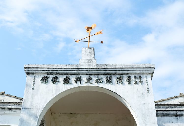
After the Dutch were ousted c. 1661 by Koxinga, Han immigrants renamed the area "Anping" after the Anping Bridge in Quanzhou, Fujian. Soon after Qing rule was established in 1683, the name "Taiwan" (臺灣) was officially used to refer to the whole island with the establishment of Taiwan Prefecture.
History
The history of Anping dates back to the 17th century, when the Dutch East India Company occupied a "high sandy down" called Tayouan and built Fort Zeelandia. The Dutch moved their headquarters to Tayouan after leaving the Pescadores in 1624. Due to silting, the islet has joined with mainland Taiwan.
Koxinga's army brought an end to the Dutch colonial period via the Siege of Fort Zeelandia.
In the Japanese period, the history of trade between China and Japan unfolded at Anping. According to the 1904 census, the city's population was 5,972.