
Length 219,000 m | Season All year | |
Highest point Plynlimon, 752 m (2,467 ft) | ||
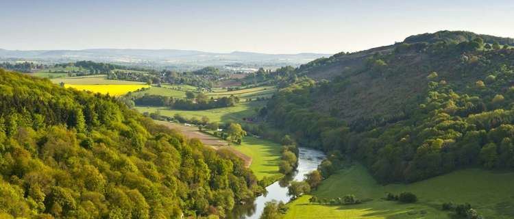
2015 08 30 wye valley walk day 1
The Wye Valley Walk (Welsh: Llwybr Dyffryn Gwy) is a long distance footpath in Wales and England following the course of the River Wye.
Contents
- 2015 08 30 wye valley walk day 1
- History
- The route
- Days and sections
- Day 1
- Day 2
- Day 3
- Day 4
- Day 5
- Day 6
- Day 7
- Landmarks
- Rail Access
- References
History
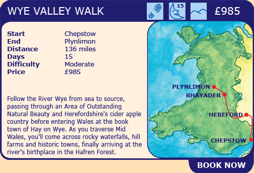
In 1975 the Wye Valley Walk opened with a 14 miles (23 km) stretch between St. Arvans and Monmouth. Further stretches were added, leading to it becoming a 34-mile (55 km) footpath by 1981. During the 1980s, gaps between Ross-on-Wye, Hay-on-Wye and Rhayader were integrated into the pathway, forming a 112 miles (180 km) walk reaching from near the river's mouth at Chepstow in Monmouthshire, to Rhayader in Mid Wales.
In September 2002, the route was finally extended to start or finish in Coed Hafren, having passed within viewing distance of the source of the River Wye on Plynlimon near Aberystwyth, a total of 136 miles (219 km).
The route
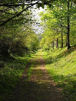
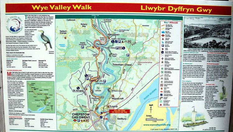
The Wye Valley Walk is marked out by circular yellow waymark arrows, finger posts, and signs showing the path's logo, a leaping salmon. Most of the route follows Public Rights of Way. Some parts are permissive paths where owners have agreed for them to be used. Parts of Plynlimon are open countryside in which there is a right to roam established by the Countryside and Rights of Way Act 2000.
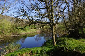
The route passes through Chepstow, the Wye Valley AONB, Tintern, Monmouth, Ross-on-Wye, Symonds Yat, Hereford, Hay-on-Wye, Builth Wells, Rhayader, and Llangurig to Plynlimon. For part of the walk, it generally follows the border between Wales and England and permits a greater insight into the differences and similarities between the scenery, history, language and culture of both.
The route of the Wye Valley Walk can be broken into 17 stages, though the entire walk is often walked in 7 day-length sections from Chepstow to Plynlimon, or vice versa.
Days and sections
Days and sections* described in the text "The Wye Valley Walk," and The Wye Valley Walk website, both by The Wye Valley Partnership.
Day 1
Day 2
Day 3
Day 4
Day 5
Day 6
Day 7
*miles and km rounded to whole numbers
Landmarks
The Wye Valley Walk passes the following notable landmarks:
Rail Access
The following stations have services provided by Arriva Trains Wales which can be used to connect with the Wye Valley Walk: