
Area 9.37 km² Population 336 (2011) | Postal code 8630 Local time Thursday 2:49 PM | |
 | ||
Weather 13°C, Wind N at 19 km/h, 59% Humidity | ||
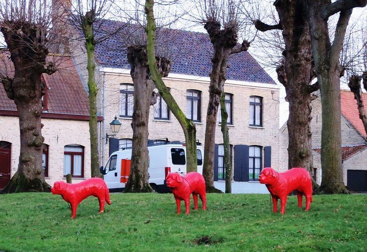
Wulveringem is a small agricultural and residential village in the Westhoek region of West Flanders, a short distance from the border with French Flanders. Wulveringem has a land area of 9.37 km2: in 2011 there were 336 registered inhabitants.
Contents
- Map of Wulveringem 8630 Veurne Belgium
- History
- Population decline since 1830
- Visiting Wulveringem
- References
Map of Wulveringem, 8630 Veurne, Belgium
Administratively Wulveringem has been controlled from Veurne since 1977. It was independently administered till 1971 after which, between 1971 and 1977, it was combined for administrative purposes with the adjacent village of Vinkem to form a new administrative unit called Beauvoorde. Although Beauvoorde's status as an independent administrative unit was short-lived, the name Beauvoorde continues in daily use.
History
Wulveringem appears on a map from 1770 on which it is identified as "Wulveringhem". The village was barely smaller then than it is today. The centre in 1770 comprised approximately 55 buildings, and well beyond the centre there were a number of large and small farms. The land is flat and often damp: about ten of the Wulveringem farms were partially or wholly surrounded by moats. The church and the small cemetery around it were almost wholly circled by a moat as were two adjacent farms.
Population decline since 1830
The registered population peaked in 1830 at 1,080 before the lure if higher wages in the industrializing towns and the mechanisation of agriculture led to a slow decline, to 822 in 1910. The population rose significantly by 1920, but then continued to decline, reaching 508 in 1970 and 336 in 2011.
Visiting Wulveringem
The centre of the village has been carefully preserved/restored. It is sometimes possible to visit Beauvoorde Castle which is positioned across a moat to the south side of the church yard.