
Country Canada Census division 11 Postal code span T0C Area 2.9 km² | Time zone MST (UTC-7) Elevation 926 m | |
 | ||
Area codes Area code 780, Area codes 587 and 825 | ||
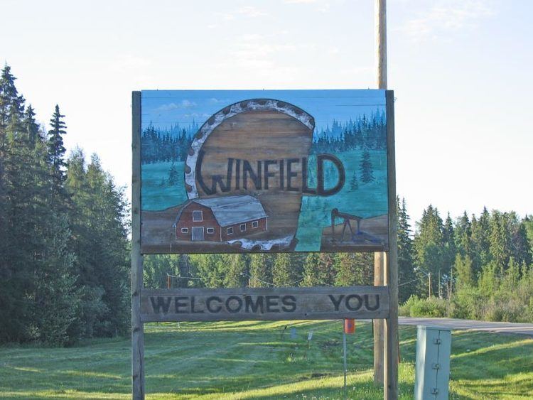
Winfield is a hamlet in Alberta, Canada within the County of Wetaskiwin No. 10. It is located at the intersection of Highway 13 and Highway 20, approximately 70 kilometres (43 mi) west of Wetaskiwin.
Contents
Map of Winfield, AB, Canada
Climate
Winfield experiences a humid continental climate (Köppen Dfb), that borders on a subarctic climate (Köppen climate classification Dfc). The average January temperature is −9.1 °C (15.6 °F), while the average July temperature is 15.5 °C (59.9 °F). However, temperatures as low as −44.5 °C (−48 °F) and as high as 34.0 °C (93 °F) have been recorded. Winters are cold and dry with a snow pack from mid November till early April. Summers are warm with long days; most participation falls during summer as rain from thunderstorms. July has the most participation of any month with an average of 131.1 millimetres (5 in) as rain.
Demographics
As a designated place in the 2016 Census of Population conducted by Statistics Canada, Winfield recorded a population of 238 living in 85 of its 98 total private dwellings, a change of 6.3% from its 2011 population of 224. With a land area of 1.07 km2 (0.41 sq mi), it had a population density of 222.4/km2 (576.1/sq mi) in 2016.
As a designated place in the 2011 Census, Winfield had a population of 224 living in 79 of its 194 total dwellings, a -10% change from its 2006 population of 249. With a land area of 1.12 km2 (0.43 sq mi), it had a population density of 200.0/km2 (518/sq mi) in 2011.