
OS grid NT855153 Prominence 113 m | Elevation 619 m Topo map OS Landranger 80 | |
 | ||
Listing Donald, Hewitt, Nuttall Similar The Cheviot, Shillhope Law, Hedgehope Hill, King's Seat, Long Crag | ||
Wild camp on windy gyle northumberland
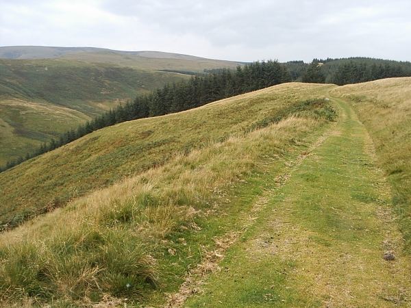
Windy Gyle is a hill in the Cheviot Hills, right on the border between England and Scotland. It lies on the border ridge, and like the other hills in the area is rounded and grass-covered. Although maps show the border passing right through the summit, the summit cairn lies a few metres north of the fence that marks the border. The cairn at the summit of this hill is named Russell's Cairn and has a small depression suitable for shielding about 15 people from the wind.
Contents
- Wild camp on windy gyle northumberland
- Map of Windy Gyle Morpeth UK
- Wgb chantry night windy gyle
- References
Map of Windy Gyle, Morpeth, UK
The Pennine Way crosses the summit, thus providing one possible route of ascent. Windy Gyle may also be climbed from the Coquet valley to the south (England), or from Cocklawfoot to the north (Scotland). There are a number or routes from both sides, and circular walks are possible.
There are good views from the summit north towards the Scottish Borders, Eildon Hills and Edinburgh.