
OS grid NU062069 Elevation 319 m | Topo map OS Landranger 81 Prominence 169 m Listing Marilyn | |
 | ||
Similar Tosson Hill, Shillhope Law, Ros Hill, Sighty Crag, Housedon Hill | ||
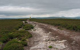
Long Crag is a hill to the north of Rothbury in Northumberland, England. It lies within the Thrunton Woods, a Forestry Commission-owned area of forestry plantations.
Map of Long Crag, Alnwick, UK
Thrunton Woods have many marked trails provided by the Forestry Commission, and there are many routes to the summit.
References
Long Crag Wikipedia(Text) CC BY-SA