
Population 141 (2006 census) Postcode(s) 4474 State electorate(s) Gregory Postal code 4474 | Established 1880 Founded 1880 Local time Thursday 5:19 PM | |
 | ||
Weather 36°C, Wind SE at 18 km/h, 21% Humidity | ||
17 adavale vista tapping real estate western australia
Adavale is a town in South West Queensland, Australia. The town is located in the Shire of Quilpie local government area, 931 kilometres (578 mi) west of the state capital, Brisbane. It is within the local government area of Quilpie Shire. At the 2006 census, Adavale and the surrounding area had a population of 141, with the town itself having an estimated population of around 15.
Contents
- 17 adavale vista tapping real estate western australia
- Map of Adavale QLD Australia
- History
- Transport
- Geography
- References
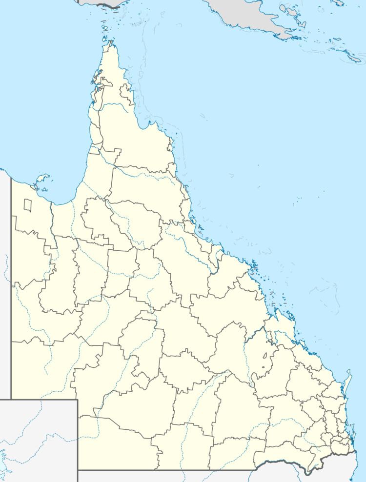
Map of Adavale QLD, Australia
History
First established in 1880, the town is believed to have been named for the wife of the Queensland Surveyor-General, William Alcock Tully. According to one tradition, the wife Ada lost her veil near the site, hence the original name of Ada's Veil. The town was once a thriving centre but the diversion of the proposed railway line to the south — through what would later become the town of Quilpie — saw the community dwindle away.
Adavale Post Office opened on 1 January 1881 and closed in 1991.
From 1889 to 1930, Adavale was the seat of local government, initially the Adavale Division and later its successor the Shire of Adavale.
The Adavale State School opened in 1888 as a provisional school, becoming a state school in 1909. It closed in 1968.
Transport
The town is only accessible along a gravel road from Charleville in the east, Quilpie in the south and Blackall in the north.
Geography
Between Adavale and Yaraka is Yapunyah waterhole.