Vehicle registration WT Elevation 498 m Local time Tuesday 9:02 AM Postal code 3841 | Time zone CET (UTC+1) Website www.windigsteig.gv.at Area 25.49 km² Population 1,041 (1 Apr 2009) Area code 02849 | |
 | ||
Weather 8°C, Wind NW at 2 km/h, 89% Humidity | ||
Windigsteig is a municipality in the district of Waidhofen an der Thaya in the Austrian state of Lower Austria.
Contents
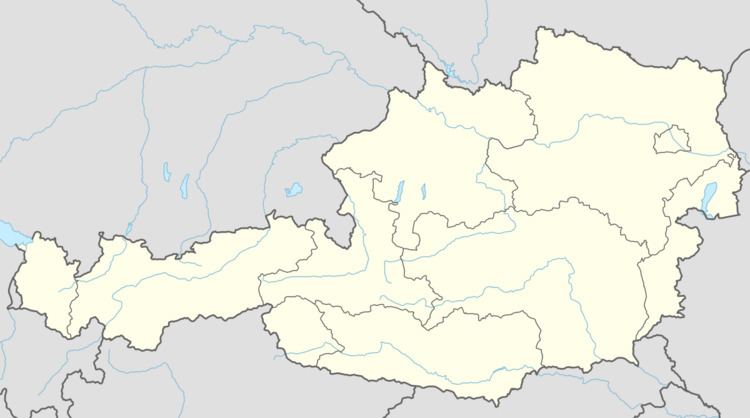
Map of 3841 Windigsteig, Austria
Geography
Windigsteig lies in the northern Waldviertel in Lower Austria. The market municipality covers an area of 25.49 square kilometres, 21.57 % of which is wooded.
Municipal subdivisions
The municipality includes the following 13 villages (in brackets is their population as at 1 January 2015):
The Cadastral municipalities are Edengans, Grünau, Kleinreichenbach, Kottschallings, Lichtenberg, Markl, Matzlesschlag, Meires, Rafings, Waldberg, Willings and Windigsteig.
References
Windigsteig Wikipedia(Text) CC BY-SA
