
- elevation 2,987 ft (910 m) - elevation 79 ft (24 m) Basin area 580.2 km² Basin 224 sq mi (580 km2) | Length 48 km | |
 | ||
- location McLellan Meadows, Gifford Pinchot National Forest | ||
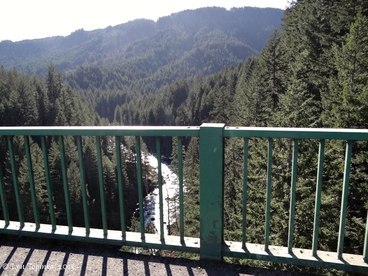
The Wind River is a tributary of the Columbia River, in the U.S. state of Washington. Its entire course of 30 miles (48 km) lies within Skamania County. Crusattes River is an old variant name.
Contents
Map of Wind River, Washington, USA
CourseEdit
The Wind River originates in the Cascade Range, south of Mount Adams and Mount St. Helens. It flows generally south through Gifford Pinchot National Forest, joining the Columbia River near Carson, in the Columbia River Gorge.
References
Wind River (Washington) Wikipedia(Text) CC BY-SA