Country United States Time zone Eastern (EST) (UTC-5) Zip code 40511 Area code 859 | Area 110 ha Population 1,424 (2000) | |
 | ||
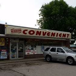
Winburn is a neighborhood in northeast Lexington, Kentucky, United States. Its boundaries are I-75/ I-64 to the north, Newtown Pike to the west, Citation Boulevard to the south, and Russell Cave Road to the east. The smaller Griffin Gate neighborhood is typically included as part of Winburn.
Contents
Map of Winburn, Lexington, KY 40511, USA
Neighborhood statistics
References
Winburn, Lexington Wikipedia(Text) CC BY-SA
