
Airport type Public Elevation AMSL 1,126 ft / 343 m 5,500 1,676 Elevation 343 m | Owner City of Willmar 13/31 5,500 Phone +1 320-235-8311 | |
 | ||
Address 6600 Highway 40 West, Willmar, MN 56201, USA Similar Willmar City Offices, Kandiyohi County Househol, Kandiyohi County Corrections, Kandiyohi County Solid Wa, Kandiyohi Community Correction | ||
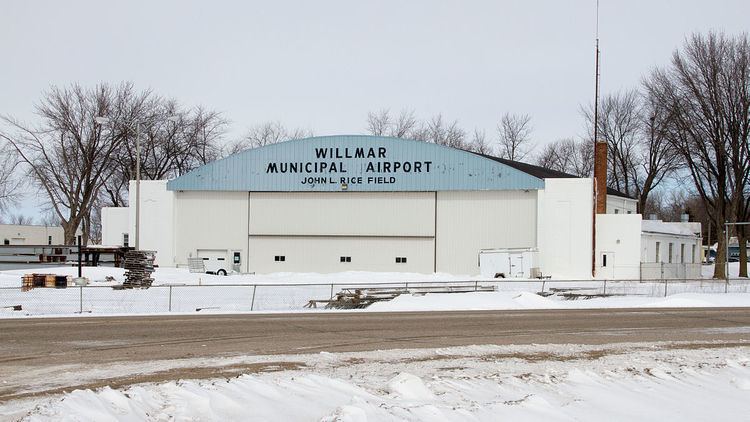
Willmar Municipal Airport (IATA: ILL, ICAO: KBDH, FAA LID: BDH), also known as John L. Rice Field, is a city owned public use airport located west of the central business district of Willmar, a city in Kandiyohi County, Minnesota, United States. The airport opened in 2006 and is located two miles west of a closed airport which operated under the same name (IATA: ILL, ICAO: KILL, FAA LID: ILL).
Contents
Although most U.S. airports use the same three-letter location identifier for the FAA and IATA, Willmar Municipal Airport is assigned BDH by the FAA and ILL by IATA for obvious historical reason. Note that IATA assigned BDH to Bandar Lengeh Airport in Bandar Lengeh, Iran.
Facilities and aircraft
Willmar Municipal Airport has two runways: 13/31 with a 5,500 x 100 ft. (1,676 x 30 m) asphalt pavement and 3/21 with a 3,000 x 250 ft. (914 x 76 m) turf surface.
Earlier airport
The first Willmar Municipal Airport was established in 1934 as a federal work relief project during the New Deal.