
Topo map USGS Cowrock Prominence 189 m Easiest route Hiking | Elevation 1,146 m Parent range Blue Ridge Mountains | |
 | ||
Similar Cowrock Mountain, Wolfpen Ridge, Young Lick, Three Sisters, Black Mountain | ||
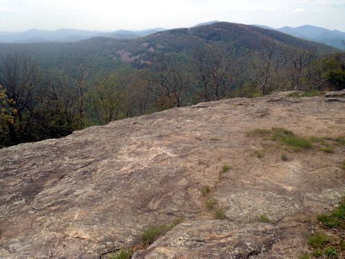
Wildcat Mountain, with an elevation of 3,760 feet, has the distinction of being the highest peak in White County, Georgia, United States but not the highest point in the county. The boundary line between White County and Towns County bisects Tray Mountain, but leaves the summit of the mountain in Towns County. Thus, the upper elevations of Tray Mountain falling within White County at nearly 4,430 feet (1,350 m) rob the summit of Wildcat Mountain of the title “highest point in White County.” Wildcat Mountain is within the borders of the Chattahoochee National Forest.
Map of Wildcat Mountain, Georgia 30528, USA
References
Wildcat Mountain (Georgia) Wikipedia(Text) CC BY-SA