
Topo map USGS Cowrock Elevation 1,174 m | First ascent unknown Prominence 101 m Parent range Blue Ridge Mountains | |
 | ||
Easiest route Appalachian National Scenic Trail Similar Wildcat Mountain, Tray Mountain, Blood Mountain, Young Lick, Coosa Bald | ||
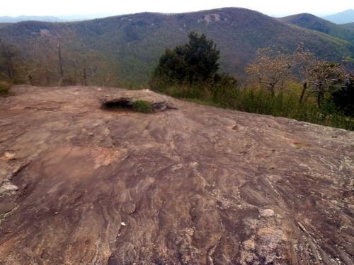
Cowrock Mountain is a mountain that is located in Lumpkin and White counties in Georgia. The mountain forms a north/south ridge. Its northern peak, Cowrock, has an elevation of 3,852 feet (1,174 m) and its southern peak, Cowrock Flat, has an elevation of 3,502 feet (1,067 m). The boundary line between Lumpkin and White counties follows the ridge formed by Cowrock Mountain. The peak called Cowrock is the highest point in Lumpkin County, forms the northeast corner of the county. The Appalachian Trail also crosses Cowrock Mountain. The mountain is located within the Raven Cliffs Wilderness in the Chattahoochee National Forest.
Map of Cowrock, Georgia 30528, USA
References
Cowrock Mountain Wikipedia(Text) CC BY-SA