
Population 1,373 (2011) Civil parish Wiggenhall St Germans Area 18.98 km² Dialling code 01553 | OS grid reference TF596141 Sovereign state United Kingdom | |
 | ||
District | ||
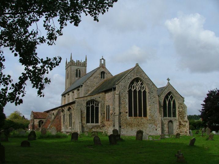
St germain wiggenhall st germans
Wiggenhall St Germans is a civil parish in the English county of Norfolk in the East of England. It is 85 miles (137 km) north of London and 5 miles (8.0 km) south-west of King's Lynn. The parish covers an area of 18.98 km2 (7.33 sq mi) and had a population of 1,373 in 554 households in the 2011 census.
Contents
Map of Wiggenhall St. Germans, UK
The parish is situated on the River Great Ouse which divides the village into two parts. Most of the parish lies below the high-water mark and some areas are level with the bed of the river, which is confined by high banks.
The parish includes the hamlets of Wiggenhall St Mary the Virgin and Wiggenhall St Peter. It was the site of Fitton, the ancient seat of the Howard family, later the dukes of Norfolk. St Mary the Virgin's Church is under the care of the Churches Conservation Trust.
Governance
Wiggenhall St Germans is part of the electoral ward called Wiggenhall. The population of this ward at the 2011 Census was 2,102.