District Mödling Postal codes 2351, 2355 Elevation 205 m Local time Sunday 9:51 PM | Time zone CET (UTC+1) Website www.wr-neudorf.at Population 8,773 (1 Apr 2009) Area code 02236 | |
 | ||
Weather 16°C, Wind SW at 3 km/h, 46% Humidity | ||
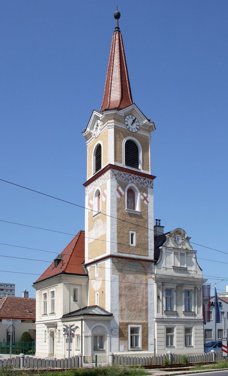
Wiener Neudorf is an Austrian town in the eastern part of the Mödling district, south of Vösendorf and Maria Enzersdorf, west of Biedermannsdorf, and north of Guntramsdorf.
Contents
Map of Wiener Neudorf, Austria
History
First settled in 4000 B.C., the first mention of Wiener Neudorf was as Nowendorf in the mid-12th century. In 1270 a paper mentioned tolls for traveling from Sollenau and Neudorf. Circa 1500 the 'Feste Neudorf' fortification was destroyed twice by invading Turks. In 1854, Wiener Neudorf became the official name, which stemmed from the postal system development in the early 19th century (Wiener Neudorf gained the letter 'W' to differentiate the name).
Wiener Neudorf industrialisation began in the mid-19th century especially due to the available clay used by the Neudorfer Ziegelwerke of Wienerberger. The Austria Brauerei major brewery was located in Wiener Neudorf as well. By 1900 the telephone network was unified with the neighbouring municipalities and the sewage system had been extended.
Mödling was returned to Lower Austria in 1954.
Politics
By seats in the municipal council. Total 33.
Traffic
Wiener Neudorf lies directly at the B-17 'Wiener Neudstädter Strasse', a major traffic route. Due to the proximity of the Shopping City Süd, the road experiences frequent traffic jams. Also close to the town lies the A2 'Südautobahn'.
Economy
Wiener Neudorf is home to the 'Industriezentrum NÖ Süd', a conglomerate of various industries and major economy factor in the south of Vienna.
