
Population 922 (2011) Civil parish Wicklewood Area 8.75 km² Dialling code 01953 | OS grid reference TG075024 Sovereign state United Kingdom Local time Sunday 6:47 PM | |
 | ||
Weather 12°C, Wind N at 11 km/h, 75% Humidity | ||
Wicklewood is a village and civil parish in the South Norfolk district of Norfolk, England. It is located 11 miles (18 km) west of Norwich next to the market town of Wymondham, neighbouring the villages of Deopham, Hackford and Kimberley. It covers an area of 8.75 km2 (3.38 sq mi) and had a population of 886 in 345 households at the 2001 census, increasing to 922 at the 2011 Census.
Contents
Map of Wicklewood, Wymondham, UK
Governance
An electoral ward in the same name exists. This ward has a population of 3,308 at the 2011 Census.
Amenities
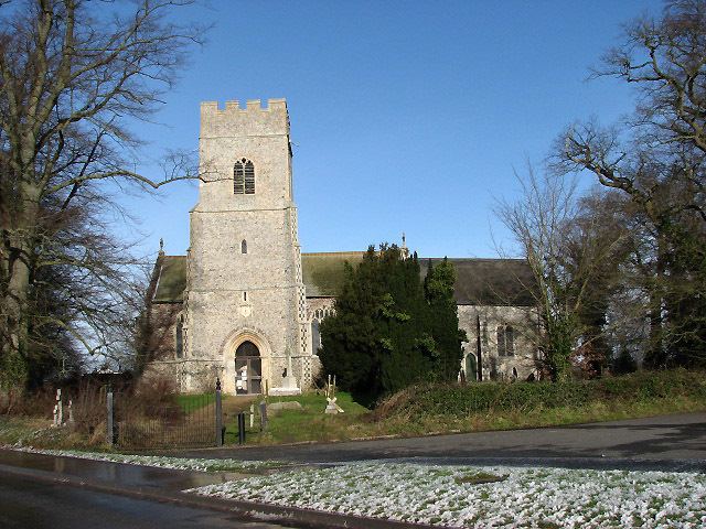
The village has a small primary school, Wicklewood School, as well as a small church, St Andrews and All Saints.
Wicklewood has a local cricket team that participates in various Sunday League matches and was the holder of the Wicklewood Shield trophy won in 2006.
The village also has one public house called the Cherry Tree where the full range of Buffy's ales, made in Tivetshall St. Mary, can be tasted.