
 | ||
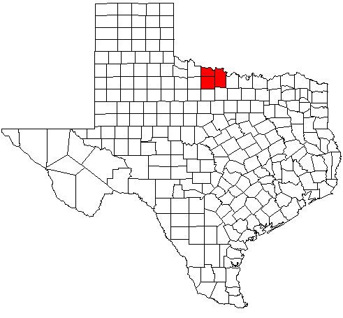
The Wichita Falls Metropolitan Statistical Area is a metropolitan area in North Texas that covers three counties - Archer, Clay, and Wichita. As of the 2010 census, the MSA had a population of 151,306 (though a July 1, 2011 estimate placed the population at 150,261).
Contents
Counties
Places with more than 100,000 people
Places with 1,000 to 15,000 people
Places with 500 to 1,000 people
Places with less than 500 people
Unincorporated places
Demographics
As of the census of 2000, there were 151,524 people, 56,109 households, and 38,587 families residing within the MSA. The racial makeup of the MSA was 80.95% White, 8.92% African American, 0.89% Native American, 1.61% Asian, 0.08% Pacific Islander, 5.05% from other races, and 2.51% from two or more races. Hispanic or Latino of any race were 11.17% of the population.
The median income for a household in the MSA was $36,011 and the median income for a family was $42,812. Males had a median income of $29,662 versus $21,660 for females. The per capita income for the MSA was $17,542.