
Population 34,765 (2010) Area 23,863 km² Mayor Andrew Willcox | Established 2008 State electorate(s) WhitsundayBurdekin Founded 2008 | |
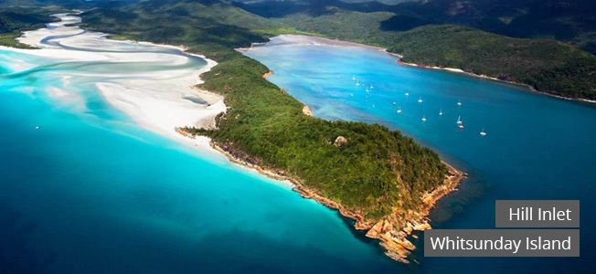 | ||
Points of interest Great Barrier Reef, Whitsunday Islands, Hamilton Island, Great Barrier Reef Mari, Whitehaven Beach Destinations | ||
The Whitsunday Region is a local government area located in North Queensland, Australia. Established in 2008, it was preceded by two previous local government areas with a history extending back to the establishment of regional local government in Queensland in 1879.
Contents
Map of Whitsunday, QLD, Australia
It has an estimated operating budget of A$48.8m.
History
Prior to 2008, the new Whitsunday Region was an entire area of two previous and distinct local government areas:
The Bowen Municipality was constituted on 7 August 1863 under the Municipalities Act 1858 (a piece of New South Wales legislation inherited by Queensland at its separation four years earlier). On 11 November 1879, the Wangaratta Division was created as one of 74 divisions around Queensland under the Divisional Boards Act 1879. With the passage of the Local Authorities Act 1902, Wangaratta became a shire and Bowen became a town on 31 March 1903.
On 19 January 1910, the Shire of Proserpine was excised from Wangaratta. With the growth of tourism in the Whitsunday Islands and the Great Barrier Reef, it was renamed on 18 February 1989.
On 2 April 1960, the Town of Bowen was abolished, and merged into the Shire of Wangaratta, which was renamed Bowen.
In July 2007, the Local Government Reform Commission released its report and recommended that the two areas amalgamate. It believed that the merger would enhance the regional planning necessary to manage its part of the Reef and improve service delivery, quality of governance and economies of scale. Both councils opposed amalgamation, although amalgamation with each other was the preferred option of each if forced to choose. On 15 March 2008, the Shires formally ceased to exist, and elections were held on the same day to elect councillors and a mayor to the Regional Council.
Wards
The council is split into six divisions, each returning one councillor, plus a mayor.
Towns and localities
The Whitsunday Region includes the following settlements:
Population
The populations given relate to the component entities prior to 2008. The next census, due in 2011, will be the first for the new Region.
Mayors
2008–2012: Mike Brunker
2012–2016: Jennifer Whitney
2016–: Andrew Willcox