
Population 16,955 (2006 census) Founded 1910 | Established 1910 Area 2,678 km² | |
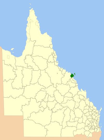 | ||
The Shire of Whitsunday was a local government area located in the North Queensland region of Queensland, Australia. The shire, administered from the town of Proserpine, covered an area of 2,678.3 square kilometres (1,034.1 sq mi), and existed as a local government entity from 1910 until 2008, when it amalgamated with the Shire of Bowen to form the Whitsunday Region.
Contents
The area's economy is mainly based on tourism, and sugar is the main agricultural product.
History
The Shire of Proserpine was established from part of the Shire of Wangaratta on 19 January 1910 under the Local Authorities Act 1902.
On 18 February 1989, the Shire of Prosperine was renamed Shire of Whitsunday due to its inclusion of the popular Whitsunday Islands.
On 15 March 2008, under the Local Government (Reform Implementation) Act 2007 passed by the Parliament of Queensland on 10 August 2007, the Shire of Whitsunday reunited with the Shire of Bowen to form the Whitsunday Region.
Towns and localities
The Shire of Whitsunday included the following settlements: