
Established 1999 Time zone ACST (UTC+9:30) Mean max temp Mean min temp Postal code 5575 | Postcode(s) 5575 State electorate(s) Goyder Founded 1999 Federal division Division of Wakefield | |
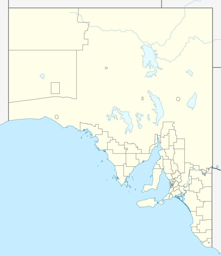 | ||
Location 145 km (90 mi) west of Adelaide | ||
White Hut is a locality in the Australian state of South Australia. It is on the west coast of Yorke Peninsula immediately adjoining Spencer Gulf about 145 kilometres (90 mi) west of the state capital of Adelaide. Its boundaries were created in May 1999. As of 2014, the majority of the land within the locality is zoned as “water protection” to protect groundwater basins present at “shallow depths” and to encourage land use such as “broadacre cropping, grazing, and wind farm and ancillary development.” White Hut is within the federal division of Grey, the state electoral district of Goyder and the local government area of the Yorke Peninsula Council.
Map of White Hut SA 5575, Australia
References
White Hut, South Australia Wikipedia(Text) CC BY-SA