
OS grid SD607179 Elevation 208 m | Topo map OS Landranger 109 | |
 | ||
Similar Great Hill, Hurst Hill, Longridge Fell, Billinge Hill, The Nab | ||
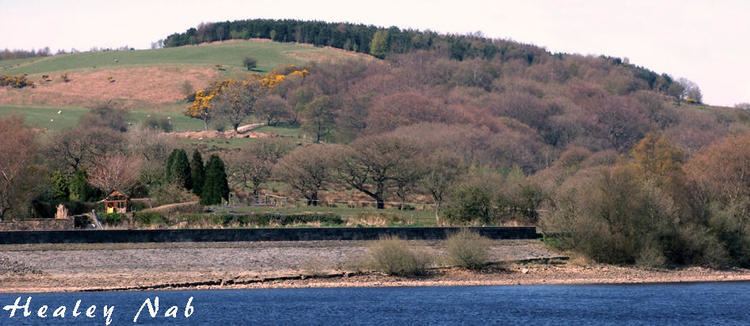
Healey Nab or "The Nab" is an area of countryside owned by Lancashire County Council containing rolling hills, moorland, woodland, ponds and streams to the east of Chorley, Lancashire, between the M61 and the West Pennine Moors. To the south east is Anglezarke Reservoir and to the north east White Coppice.
Contents
Map of Healey Nab, Chorley, UK
The name "Healey Nab" is derived from heagh (high) and ley (woodland). "Nab" is believed to derive from the Middle-English word nabb meaning a promontory or headland.
The area is popular with walkers and a network of hiking trails criss-crosses the area. The Healey Nab area has two small man-made lakes, "Bottom Lodge" and "Top Lodge", a private fishing lake. The two used to be linked to Lower Healey Bleach Works, a finishing works of the town's cotton industry, the remaining structure of which has been incorporated into the sites conversion into a small industrial estate. The summit is Grey Heights, and near it is a disused quarry known as "Devil's Rock". Grey Heights and its cairn at 682 feet form the highest point and from there are views over Chorley and it is possible to see the skyline of Preston, Fiddlers Ferry power station in Merseyside, the silhouette of Blackpool Tower and the Irish Sea. From Chorley, "The Nab" dominates the landscape and is the first significant height gain in the transition from a heavily populated area to the moorland of the West Pennine Moors.
There are two maintained mountain bike trails across healey nab, a 2km red loop with fun descents and tricky climbs, with a short but technical black dh run down the front. These are maintained by a local volunteer dig crew (check Facebook for 'i dig healey nab') with lots of work planned for the next few years. There is also a bridleway.