
Country United States Elevation 203 m Population 10,110 (2010) | GNIS feature ID 0453522 Area 125 km² Local time Saturday 10:13 AM | |
 | ||
Weather -2°C, Wind N at 14 km/h, 37% Humidity | ||
Keener Township is one of thirteen townships in Jasper County, Indiana, United States. As of the 2010 census, its population was 10,110 and it contained 3,977 housing units.
Contents
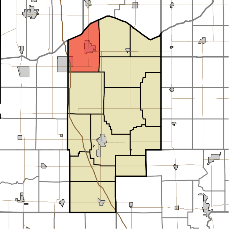
- Map of Keener Township IN USA
- Geography
- Cities and towns
- Unincorporated towns
- Adjacent townships
- Cemeteries
- Major highways
- Airports and landing strips
- References
Map of Keener Township, IN, USA
Keener Township was established in 1858.
Geography
According to the 2010 census, the township has a total area of 48.26 square miles (125.0 km2), of which 48.11 square miles (124.6 km2) (or 99.69%) is land and 0.15 square miles (0.39 km2) (or 0.31%) is water.
Cities and towns
Unincorporated towns
Adjacent townships
Cemeteries
The township contains three cemeteries: Cemetery of the Resurrection, DeMotte Cemetery, and First Church Cemetery (informally known as Holland Cemetery).
Major highways
Airports and landing strips
References
Keener Township, Jasper County, Indiana Wikipedia(Text) CC BY-SA