
Population 192 (2011) Civil parish Wettenhall Local time Saturday 3:41 PM | OS grid reference SJ621616 Unitary authority Dialling code 01270 | |
 | ||
Weather 13°C, Wind NW at 19 km/h, 73% Humidity | ||
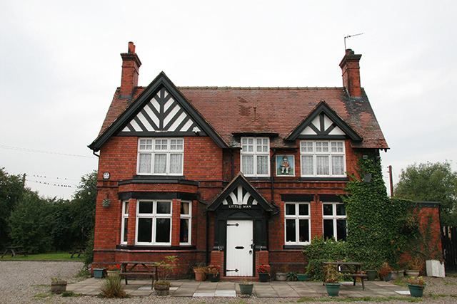
Wettenhall is a village (at SJ624614) and civil parish in the unitary authority of Cheshire East and the ceremonial county of Cheshire, England. The village lies 3½ miles to the south west of Winsford and 6 miles to the north west of Crewe. The parish also includes the settlements of Chapel Green and Woodside. Nearby villages include Alpraham, Calveley, Cholmondeston, Church Minshull, Little Budworth and Tarporley. St David's Church and the Boot and Slipper and Little Man public houses are located in Wettenhall village. The village's former manor house was demolished c. 1930.
Contents
Map of Wettenhall, Winsford, UK
According to the 2001 census, the parish had a population of 135, increasing to 192 at the 2011 Census.
Geography
The parish includes Wettenhall Wood, part of the Wettenhall And Darnhall Woods Site of Special Scientific Interest, together with woodland in the adjacent Darnhall parish.