
Population 2,614 (2011 Census) Civil parish Tarporley Region North West Dialling code 01829 | OS grid reference SJ553627 Ceremonial county Cheshire Local time Monday 3:55 AM | |
 | ||
Unitary authority Weather 3°C, Wind E at 8 km/h, 90% Humidity Points of interest Beeston Castle, Sandstone Trail, Bickerton Hill, Tirley Garth | ||
Take a tour of tarporley
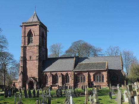
Tarporley is a large village and civil parish in Cheshire, England. It is bypassed by the A49 and A51 roads and is considered a picturesque village for both visitors and residents, holding a regular country market on the first Saturday of each month.
Contents
- Take a tour of tarporley
- Map of Tarporley UK
- Tarporley parking crisis
- Governance
- Civic history
- Political representation
- Geography and transport
- Education
- Twinning
- References
Map of Tarporley, UK
At the 2001 Census, the population was 2,634, falling slightly to 2,614 at the 2011 Census. Tarporley civil parish also contains the village of Rhuddall Heath. Since 2009 it forms part of the unitary authority district of Cheshire West and Chester.
Tarporley High Street features four pubs: the Foresters Arms, the Swan Hotel, the Crown Hotel, and the Rising Sun. The High Street is also home to four restaurants: Piste, The Coast Restaurant and Bar, Little Tap, and STREET Tarporley.
The Tarporley Hunt Club, the oldest surviving hunt club in England, meets in the village every Christmas.
Tarporley parking crisis
Governance
An electoral ward in the same name exists. This ward stretches north-east to the Budworths with a total population at the 2011 Census of 4,398.
Civic history
The Urban District of Tarporley was created in 1894 and was abolished in 1936. From 1936 until 1974 Tarporley was a part of the Rural District of Northwich, until that district's abolition as a result of the Local Government Act 1972. From 1 April 1974 Tarporley formed part of the borough of Vale Royal, within Cheshire and was included in the new unitary authority of Cheshire West and Chester on 1 April 2009. The village has civil parish status and its own parish council, giving it some limited local government autonomy. The parish council comprises 12 locally elected members.
Political representation
Tarporley has been in the parliamentary constituency of Eddisbury since that constituency's re-establishment in 1983, following its abolition in 1950.
Geography and transport
Tarporley is bypassed by the A49 and A51 roads. The village was once served by Beeston Castle and Tarporley railway station on the Chester to Crewe main line, more than two miles from the village; the line remains open but the station closed in April 1966.
A local bus service, route 84, is provided by Arriva.
Education
Tarporley has two schools: Tarporley High School and Tarporley Church of England Primary School.
Brook Farm School was a state special education boarding school located in the village that closed in 2001. Demolition at the site commenced in 2013.
Twinning
Established in 1983, through The British Council, Tarporley is twinned with the Breton village of Bohars, near Brest, France.