
OS grid reference SP828346 Post town MILTON KEYNES Dialling code 01908 | Sovereign state United Kingdom Postcode district MK4 | |
 | ||
Westcroft cricket club indoor nets 3
Westcroft is a district in the west side of Milton Keynes, in the civil parish of Shenley Brook End.
Contents
Map of Westcroft, Milton Keynes, UK
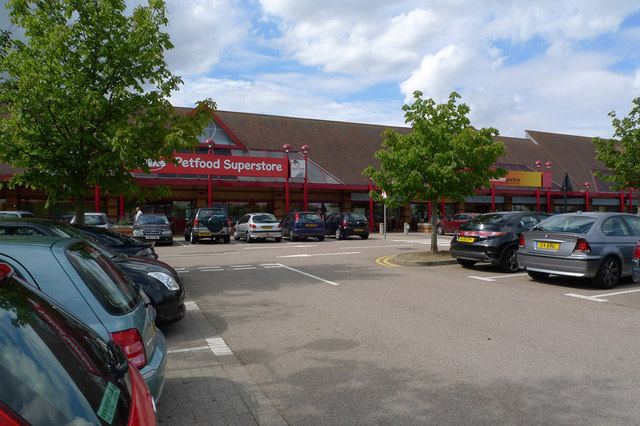
Westcroft District Centre is a large retail development that serves this side of Milton Keynes (Tattenhoe, Emerson Valley, Furzton, Kingsmead, Shenley Brook End, Shenley Lodge, Oakhill, Shenley Wood, Shenley Church End and western West Bletchley). The District Centre houses the Milton Keynes branch of Morrisons and other UK high street names, such as Boots and a Marshall car servicing centre / dealership (Citroen (servicing only), Mazda and Skoda). The centre also has a small local library and a meeting place. A health centre / clinic is located adjacent to the district centre. According to Milton Keynes Borough Council, Westcroft, Wolverton, Bletchley and Kingston form the second tier in the retail hierarchy of Milton Keynes, below Milton Keynes Central.
Westcroft is in the catchment area for Oxley Park Combined School and Shenley Brook End Secondary School.
The rest of Westcroft consists of mainly housing, located around a large, formally planted park and a large sports field. At the southern end of the park there is a car park and the sports pavilion.