
OS grid reference SP816410 Dialling code 01908 | Unitary authority Local time Wednesday 5:05 AM | |
 | ||
Civil parish Wolverton and Greenleys Weather 5°C, Wind NW at 8 km/h, 84% Humidity Population 12,492 2011 Census (Wolverton and Greenleys) | ||
Wolverton park milton keynes
Wolverton is a constituent town of Milton Keynes (which is in north Buckinghamshire, England). It is at its northern edge, between Stony Stratford and Newport Pagnell. It is the administrative seat of Wolverton and Greenleys civil parish.
Contents
- Wolverton park milton keynes
- Map of Wolverton Milton Keynes UK
- Old Wolverton
- Canal village
- Railway town
- Modern Wolverton
- Wolverton railway station
- Historic football ground
- Secret Garden
- Civil parish
- Sport in Wolverton
- Twin town
- ONS urban sub area former
- References
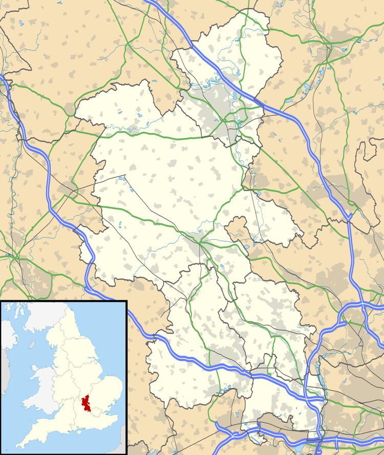
Map of Wolverton, Milton Keynes, UK
It is one of the places in historic Buckinghamshire that went into the foundation of Milton Keynes in 1967.
The village recorded in Domesday is known today as Old Wolverton but, because of peasant clearances in the early 17th century, only field markings remain of the medieval settlement. Modern Wolverton is a new settlement founded in the early 19th century as a railway town, with its centre relocated about 1 km (0.6 mi) to the south-east. Today, Wolverton is a thriving focus for the northern edge of Milton Keynes.
Old Wolverton
The town name is an Old English language word, and means 'Wulfhere's estate'. It was recorded in the Domesday Book of 1086 as Wluerintone. The original Wolverton was a medieval settlement just north and west of today's town. This site is now known as Old Wolverton, although the medieval village is all but gone. The Ridge and Furrow pattern of agriculture can still be seen in the nearby fields and the Saxon church of the Holy Trinity (rebuilt in 1819) still sits next to the Norman Motte and Bailey site. Only the earth mound remains of the Norman castle, though the Saxon tower still stands as central to the rebuilt church, clad in the early 19th century 'Anglo-Norman' style. Next door to the church is a house built in 1729 which later became the vicarage; the front door has stonework from the nearby, demolished manor house of the 16th century including the de Longueville family coat of arms, and pieces from the earlier church building. A talbot, another symbol of the family, once graced the side-entrance which now marks the boundary between the ground floor of the house and its downstairs toilet.
The manor of Wolverton was held by the de Wolverton family until the mid-fourteenth century. Sir John de Wolverton died in 1349 leaving an infant son, Ralph, who died in 1351, and two daughters. The elder daughter Margaret or Margery, married John le Hunt, Lord Chief Justice of Ireland, and had in turn one daughter, Joan le Hunt, who married John Longueville of Billing, Northamptonshire, and through whom Wolverton passed by inheritance to the Longueville/Longville family.
Of the historic village itself, only field patterns marking a deserted village remain, along with two village ponds. The desertion of Old Wolverton was due to enclosure of the large strip cultivation fields into small "closes" by the local landlords, the Longville family, who turned arable land over to pasture. By 1654, the family had completely enclosed the parish. With the end of the feudal system, the peasants had lost their land and tillage/grazing rights and were forced to find other work or starve. Thus Old Wolverton was reduced from about thirty peasant families in the mid 16th century to almost none, within the space of a century.
The newer area, built about 1 km (0.62 mi) to the south-east for the railways in the 19th century, assumed the Wolverton name.
Canal village
The Grand Union Canal passes around the northern and eastern edge of the modern town. The canal originally crossed the River Great Ouse by descending 10 metres to the river by nine locks, crossing the river on the level and ascended by eight locks on the other side. This was time consuming for navigators and subject to disruption in time of flood.
Railway town
In 1836 Wolverton was chosen as the site of the locomotive repair shop at the midpoint of the London and Birmingham Railway then under construction.
In 1846 the L & B became part of the London and North Western Railway, who subsequently decided that locomotives would be built and repaired at Crewe. The last locomotives at Wolverton were built in 1863 and repaired until 1877 after which it concentrated on carriages including railway owned road vehicles. The Works has been the home of the Royal Train fleet. During the Second World War, the Works built parts for Lee–Enfield rifles, bomber plane timber frames, Hawker Typhoon wings, Horsa Gliders, and ambulances. Like many older industrial sites, camouflage paint from the period can still be seen on the factory buildings. A pillbox remains opposite the Works Wall.
The railway company built some 200 houses for its workers by 1844 along with schools, a church and a market.
Modern Wolverton
Today the Anglican church of Saint George faces a mosque that is located in a former post office sorting office and what was the 'Empire' cinema. It has a variety of foodstores (Polish mini-market, Asian produce general stores) as well as a variety of restaurants (Asian, African, Caribbean, Lebanese, Chinese, traditional English). There are many opportunities to be involved in the community through such initiatives as the community orchard (repurposed allotments), the urb farm, the annual scarecrow festival and the lantern parade at Christmas(running since 1990). There is a brass band and light orchestra and a programme of varied community arts events including Music, Dance, Film and Drama Community Arts Programme (Madcap). It is now a focal point of the community and a preserved Grade ii listed building on the gateway to the town and continues to operate as one of the oldest charities in Milton Keynes. As of January 2014, however, it has been temporarily closed while management and financial issues are resolved and is currently (February 2014) no longer in operation.
Wolverton railway station
A "toy town" wooden ticket office that stood on the railway bridge, facing out onto Newport Road, with steps leading down to the platform was actually the third location for a station in Wolverton. The original temporary stop was on the embankment above Wolverton Park, a larger station and refreshment rooms were soon built at a location behind what is now Glyn Square. In the 1880s the main line was re-routed to the east to allow for expansion and the current station site has been in use since. The wooden station stood here for over 100 years, however Milton Keynes Borough Council did not make it a listed building and British Rail demolished it in 1991.
Passengers must use stairways connecting an overhead open walkway to access the different platforms of the station, making it inaccessible to passengers with mobility impairments. The Council's 'Regeneration Strategy for Wolverton' aimed to build a new station in the original position. In reality, work began on the new station in the present car park in Summer 2011 and was completed in Summer 2013.
Historic football ground
The football ground beside the railway works and the station was home to the works team and subsequently to Wolverton Town football club. The stand, built in 1899, is believed to be the oldest covered football stand in the world. It was set to be demolished by September 2006 because its owners wish to redevelop the site for housing and a community park. The development went ahead and a replica stand now sits on the original site to mark the significance of the original construction, painted green as it used to be.
Secret Garden
In 1999 a group of Wolverton residents clubbed together to persuade Railtrack to sell to the Town Council a piece of derelict land for £1. The council then leased the land to the resident's group for a garden to be created. This piece of land, which sits alongside the Grand Union Canal, has been turned into a small park known locally as the “Secret Garden”, something the residents felt was missing from the largely industrial area. It is maintained by volunteers and hosts outdoor music events in the summer months. It is open to all throughout the year.
Previously the garden was the site of several townhouses built in the early Victorian era for the Railways. One of the houses was the residence of the Station Master for Wolverton. Now the foundations and cellars of two of these houses have been excavated and form a feature in the “Secret Garden”.
Civil parish
Wolverton formed a civil parish within the Stratford and Wolverton Rural District from 1894 to 1919, that also contained the parishes of Calverton, Stony Stratford East and Stony Stratford West. The parishes had previously been part of the Potterspury Rural Sanitary District until it was disbanded in 1894. In 1919 these parishes, combined with New Bradwell, became part of the 'Stratford and Wolverton Urban District' (renamed the 'Wolverton Urban District' in 1920). This urban district would remain in existence until 1974 when it became part of the Borough of Milton Keynes.
Today, Wolverton is the larger element of the modern parish of Wolverton and Greenleys.
Sport in Wolverton
The town's sports clubs include
Twin town
ONS urban sub-area (former)
For census purposes, the Office for National Statistics has used the boundaries of the former Wolverton Urban District Council to designate an Urban Sub-area that it called Wolverton/Stony Stratford. The area covered included Stony Stratford CP, Wolverton and Greenleys CP, New Bradwell CP, Stantonbury CP and part of Great Linford CP. At the 2001 Census, the population of the Sub-area was 60,359. From the 2011 census, the ONS ceased to use this indicator.