
Population 2,734 (2011) Civil parish West Winch Area 8.02 km² | OS grid reference TF630155 Sovereign state United Kingdom Local time Saturday 5:53 AM | |
 | ||
Weather 8°C, Wind SE at 14 km/h, 89% Humidity District | ||
Bowyer lowe west winch indoor 1 10th buggy
West Winch is a civil parish in the English county of Norfolk. It covers an area of 8.02 km2 (3.10 sq mi) and had a population of 2,596 in 1,068 households at the 2001 census, the population increasing to 2,734 at the 2011 census. For the purposes of local government, it falls within the district of King's Lynn and West Norfolk.
Contents
- Bowyer lowe west winch indoor 1 10th buggy
- Map of West Winch UK
- Community engagement in west winch
- Governance
- References
Map of West Winch, UK
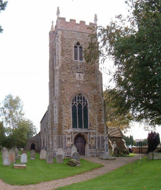
West Winch is situated on the A10 several miles south of the town of King's Lynn. The most celebrated feature is a windmill (at grid reference TF63131678) that was restored from dereliction between 1973 and 1980 and is now complete with sails. Cartoonist Osbert Lancaster is buried in the church graveyard, having previously opened the William Burt Social Club in 1974. A plaque on the club's wall commemorates this event. A range of recycling facilities are adjacent to the club.
For most of the 1990s West Winch's pub (formerly the Cock Inn), was an Australian theme pub called The Billabong. West Winch also possesses a large but mostly sterile common with a view across the railway line. Sugar beet factory was visible but has now been demolished and replaced with paper mill.
Community engagement in west winch
Governance
An electoral ward in the same name exists. The population of this ward at the 2011 Census was 4,734.