
Local time Saturday 11:56 AM | ||
 | ||
Weather 16°C, Wind SW at 8 km/h, 81% Humidity | ||
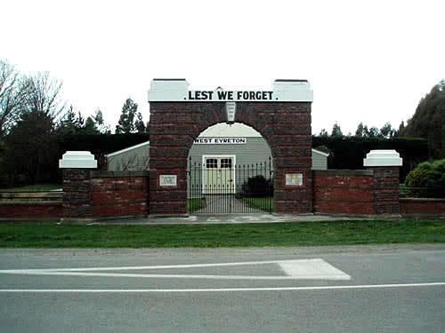
West Eyreton is a small rural village in the Canterbury region of New Zealand's South Island. It is west of Kaiapoi and north-west of Eyreton and is named after Edward John Eyre, a 19th-century lieutenant governor of the South Island, then known as New Munster. In the 2001 New Zealand Census of Population and Dwellings the population was 1,146 (573 males and 573 females), an increase of 306 or 36.4% since the 1996 census.
Contents
Map of West Eyreton, New Zealand
In the 1870s, poor transport led to the construction of the Eyreton Branch railway line, which opened on 17 December 1875. Despite its name it ran to the north of Eyreton and originally terminated in West Eyreton, extended to Bennetts Junction on the Oxford Branch on 1 February 1878. Beyond Horrelville closed on 9 February 1931, and on 26 May 1954 low traffic led to the closure of the branch. Little remains besides some of the formation and a loading bank at the site of station.
Education
West Eyreton School is West Eyreton's only school. It is a state coeducational full primary school with a decile rating of 10 and a roll of 202 students (as of July 2016). The principal is Jillian Gallagher.