
Population 450 Area 13.51 km² | OS grid reference TF 656 009 Sovereign state United Kingdom Local time Friday 11:26 PM | |
 | ||
Weather 9°C, Wind S at 11 km/h, 83% Humidity District | ||
West dereham hall party dec 07
West Dereham is a village and civil parish in the English county of Norfolk. It covers an area of 13.51 km2 (5.22 sq mi) and had a population of 440 in 176 households as of the 2001 census, the population increasing to 450 at the 2011 Census. For the purposes of local government, it falls within the district of King's Lynn and West Norfolk.
Contents
Map of West Dereham, UK
It is situated some 4 miles (6.4 km) east of the town of Downham Market, 12 miles (19 km) south of the larger town of King's Lynn and 37 miles (60 km) west of the city of Norwich. The village should not be confused with the mid-Norfolk town of Dereham (sometimes also called East Dereham), which lies about 25 miles (40 km) away.
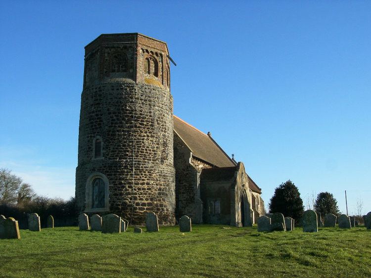
Church of St Andrew
The church of West Dereham St Andrew is one of 124 existing round-tower churches in Norfolk, and is a Grade I listed building.