
- elevation 1,200 ft (366 m) Length 21 km Basin area 54.39 km² | - elevation 600 ft (183 m) Basin area 54.39 km² | |
 | ||
- right Indian Run, Panther Creek - location Schuylkill Haven, Pennsylvania, Schuylkill County, Pennsylvania | ||
The West Branch Schuylkill River (also known simply as the West Branch) is an approximately 12.9-mile-long (20.8 km) tributary of the Schuylkill River in central Schuylkill County, Pennsylvania, USA, with a watershed approximately 21 square miles (54 km2) in size. Several small communities are located in the watershed, which include ‹See Tfd›Beaver Meadows, Buck Run, Glen Dower, Minersville, Pottsville, Cressona, and Schuylkill Haven. Mild amounts of acid mine drainage affect the West Branch and its tributaries. From its headwaters near Interstate 81, the river flows southeast through several water gaps in the Ridge-and-Valley Appalachians, ending at its confluence with the Schuylkill River in Schuylkill Haven.
Contents
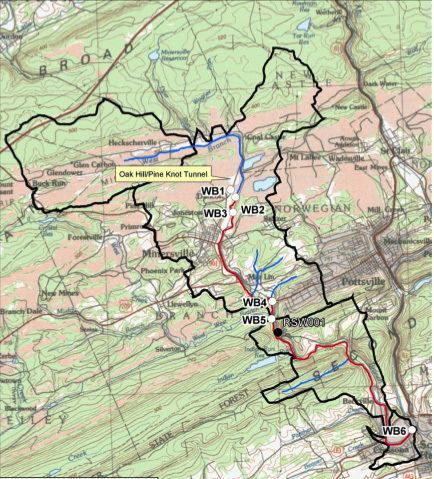
Map of West Branch Schuylkill River, Pennsylvania, USA
CourseEdit
The West Branch's source is several small ponds east of Interstate 81, near the small community of Buck Run. The river flows east-northeast, paralleling Valley Road and later the Heckscherville Road. Near Heckscherville, it receives small tributaries Dyer Run, Wagner Run, and Wheeler Creek, all on the left bank. It then flows south and southeast past Minersville, and finally east through a narrow canyon, where it receives Indian Run on the right bank. After exiting the canyon, it turns south and enters an increasingly wide valley. At Cressona, it receives Panther Creek on the right bank and Beaver Creek on the left bank. As the river enters Schuylkill Haven it merges with the Schuylkill River on the right bank.